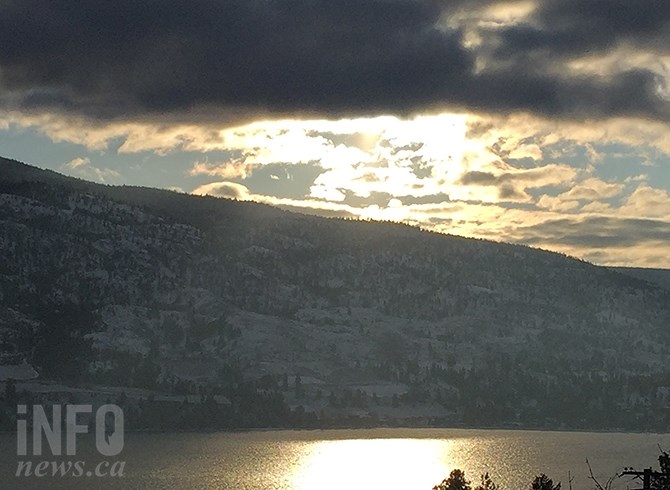
This year's El Niño was too weak to fend off a persistent arctic front that is set to break temperature records for February in Kelowna. The only silver lining in the clouds from Environment Canada is a prediction for a mild spring.
(STEVE ARSTAD / iNFOnews.ca)
February 25, 2019 - 4:04 PM
KAMLOOPS, PENTICTON, VERNON NOT FAR BEHIND
PENTICTON - If you enjoyed February’s extreme cold, you’re in luck, because similar weather is anticipated through the first half of March.
Environment Canada meteorologist Carmen Hart says the month of February is almost certain to be a record setter for Kelowna as the coldest February on record.
The month should place in the top 10 for the coldest February for Kamloops, Vernon and Penticton.
With three days remaining in the month, the forecast is calling for continued below normal temperatures, which have been running around 10 Celsius below normal.
Kelowna has mean temperature average of -8.4 C so far this month, with an average high of -4 C and an average low of -14 C.
The record is -7.8 C, set in February, 1975, with Kelowna records going back to 1969.
The normal median temperature for February in Kelowna is -.9 C.
Weather records in Kamloops, Vernon and Penticton go back several more decades than Kelowna’s. In those cities, 1936 was the coldest February on record to date.
This February so far looks to be fifth coldest on record for Kamloops, the sixth coldest for Vernon and second coldest for Penticton.
Hart says the cold spell is significant.
“When we talk about the globe warming up we talk about how significant a one degree change is, so when we’re off by five to 10 degrees, that’s got to have some impact on the environment,” she says.
Hart says preliminary data indicates the climatological winter - the months of December, January and February - has been colder overall than normal, in spite of December and January being above average in temperature.
Hart says an El Niño was present this winter, but it was a weak one, which allowed other weather factors, such as a persistent arctic front, to dominate the weather.
“Because it was so weak, other factors became more important,” she says, adding a weak El Niño is not necessarily associated with a warmer winter, where a strong one is more likely to be.
The first two weeks of March are also forecast to average around 10 C below seasonal norms, with highs in the 0 C range instead of a normal early March average temperature of 10 C.
“The second half of March is unclear at this point, although the long range forecast calls for a mild spring. I just don’t know when that will happen,” Hart says.
To contact a reporter for this story, email Steve Arstad or call 250-488-3065 or email the editor. You can also submit photos, videos or news tips to the newsroom and be entered to win a monthly prize draw.
We welcome your comments and opinions on our stories but play nice. We won't censor or delete comments unless they contain off-topic statements or links, unnecessary vulgarity, false facts, spam or obviously fake profiles. If you have any concerns about what you see in comments, email the editor in the link above.
News from © iNFOnews, 2019