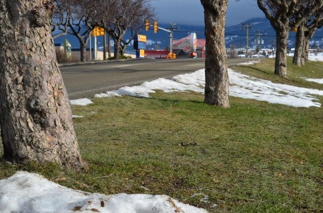
(CHARLOTTE HELSTON / iNFOnews.ca)
February 01, 2023 - 1:25 PM
Despite a cold snap at the end of the month, January was one of the milder and drier months on record for Kamloops and the Okanagan, but what's expected for February is still up in the air.
Kamloops recorded its 11th warmest January since 1890, according to data posted on Twitter by Environment Canada. The mean temperature for the month was 0.6 Celsius compared to a normal for the month of -2.8 C. It was also the 12th driest during that time with seven millimetres of precipitation, one-third of the normal of 21 mm.
Penticton had a mean temperature of 0.8 C compared to a normal of 0.6 C, making it the 20th warmest January since 1908. The city ranked number 14 for precipitation with 12.9 mm compared to a norm of 26.9 mm.
Kelowna'a temperature records go back to 1900 with January ranking number 24 for temperature (-0.03 C versus a norm of -1.4 C). The city got 15.4 mm of precipitation compared to a norm of 31 mm, ranking it as the fifteenth warmest month on record.
The data doesn't include Vernon.
What’s coming for February isn't clear.
“The monthly forecast is not showing a lot of certainty,” Environment Canada meteorologist Bobby Sekhon told iNFOnews.ca today, Feb. 1. “It was looking like it was going to trend to a colder month but it has now backed off.”
Normal temperatures for early February are around the freezing mark but should be about 5 C above normal by the weekend and into next week.
After that, forecasters are just not sure.
READ MORE: Weather in 2022 was far from normal in Okanagan, Kamloops
The La Nina effect that has persisted for the last three winters and normally brings colder and wetter weather, is fading away. There is no indication of what kind of weather pattern will follow in the coming weeks.
“The El Niño-Southern Oscillation is a climatological pattern in the tropical Pacific that shifts irregularly between warmer (El Niño) and colder(La Niña) temperatures every two to seven years,” a Government of B.C. website explains. “These changes disrupt the large-scale air movements in the tropics, triggering seasonal changes to weather patterns world-wide, including B.C.”
To contact a reporter for this story, email Rob Munro or call 250-808-0143 or email the editor. You can also submit photos, videos or news tips to the newsroom and be entered to win a monthly prize draw.
We welcome your comments and opinions on our stories but play nice. We won't censor or delete comments unless they contain off-topic statements or links, unnecessary vulgarity, false facts, spam or obviously fake profiles. If you have any concerns about what you see in comments, email the editor in the link above.
News from © iNFOnews, 2023