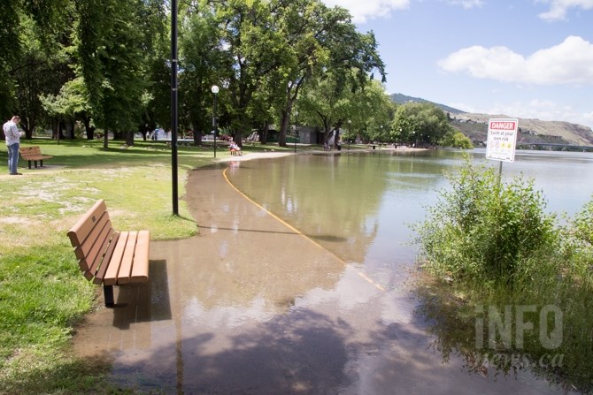
FILE — Water surrounds a bench and walkway at Riverside Park.
(KIM ANDERSON / iNFOnews.ca)
March 26, 2019 - 5:11 PM
KAMLOOPS - With normal snow accumulations in higher elevations comes decreased risk of flooding from melting snow this year but authorities are still preparing for flooding from the less predictable spring rains.
Dave Campbell with the River Forecast Centre says on years like this one where snow melt is less of a concern, the risk of flooding shifts to creeks, streams and precipitation. He says the risk of flooding is always there, but compares the year-by-year risk to rolling dice.
"Maybe on a high snowpack year if you roll a one, two or three you would get a flood; whereas this year we would just have to roll a one," Campbell says in a phone interview. "The probability to roll that is much lower but there is still a possibility."
Environment Canada meteorologist Matt MacDonald agrees that this past winter has been relatively dry, seeing 60 to 80 per cent of normal precipitation. However the trade off with lower-than-normal snowpack means an increase concerned for drought and wildfire.
Though it’s still early in the season, MacDonald says the amount of precipitation we see through the spring will set the tone for the wildfire season. Today Environment Canada is calling for rain and possible thunderstorms in the Thompson Okanagan.
"Right now, as we get into April, it's looking like a showery, spring-like pattern," he says. "So I think that will help provide some relief for the drier conditions."
Kamloops city council got a preview into the City's preparedness for freshet at the regular meeting today, March 26.
Currently the run off from melted snow is not causing concern for the City of Kamloops' utility manager, Greg Wightman.
"But we're not out of the woods yet," he says.
Wightman told city council technology used to monitor water levels allows them to take better preventative measures.
"We're able to see as the streamflows are increasing what impact that will have on the community," Wightman says. "It appears to be something a lot of other (municipalities) would like to have."
The city has also added information on the website such as a map pointing out where storm drains are, and how to properly put up sandbags.
Go here to see the City of Kamloops webpage on flooding preparation and response.
To contact a reporter for this story, email Shelby Thevenot or call (250) 819-6089 or email the editor You can also submit photos, videos or news tips to the newsroom and be entered to win a monthly prize draw.
We welcome your comments and opinions on our stories but play nice. We won’t censor or delete comments unless they contain off-topic statements or links, unnecessary vulgarity, false facts, spam or obviously fake profiles. If you have any concerns about what you see in comments, email the editor in the link above.
News from © iNFOnews, 2019