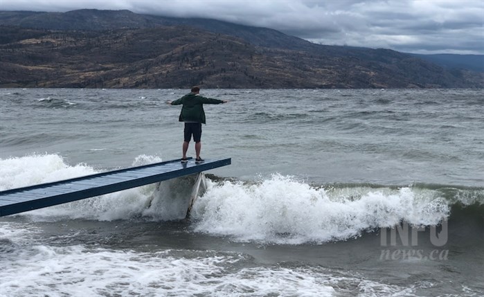
Image Credit: FILE PHOTO
August 12, 2021 - 6:00 PM
While there are heat warnings and alerts in place for the next couple of days in the Thompson and Okanagan, the heat looks like it will be broken by a “dramatic cold front” late in the weekend, according to Environment Canada meteorologist Armel Castellan.
Temperatures could hit 40 Celsius in Kamloops tomorrow, Aug. 13, and Saturday. In the Okanagan, the mercury will rise to around 35 C.
READ MORE: Heat warning issued for South Thompson, while alerts continue in Okanagan
That heat will ease with a chance of a trace or up to three millimetres of rain in some places on Sunday, Castellan told iNFOnews.ca.
“The fires could become worse over the course of these next few days with this really violent dry cold front,” he said.
While it’s technically termed a cold front, it’s not all that cool. Daytime highs in the region are expected to be in the mid to high-20s next week, which is more typical of this time of year than the current mid to high-30s.
There could be heavy rain in the Cariboo Mountains Columbia region but there’s not likely to be much in the South Thompson or Okanagan, except where there are thunderstorms dumping rain.
It’s the thunderstorms that could cause the most problem for firefighters. Not only do they bring the risk of dry lightening that could start more fires, but winds could gust up to 60 or 70 km/h causing existing fires to potentially flare and spread.
“These conditions are extreme,” Castellan said. “We are in the thick of it right now. Traditionally, our fire season starts kind of the end of July or early August so that’s right now. We’re seeing more of a normal fire season. It just happened to start in June so it’s way early.”
What will happen with the smoke from these fires remains to be seen, he said. It’s starting to flow into the Lower Mainland and will likely cross to Vancouver Island. It’s also moving into the Kootenays. But there’s a good chance much of it will linger in Southern Interior valleys.
To contact a reporter for this story, email Rob Munro or call 250-808-0143 or email the editor. You can also submit photos, videos or news tips to the newsroom and be entered to win a monthly prize draw.
We welcome your comments and opinions on our stories but play nice. We won't censor or delete comments unless they contain off-topic statements or links, unnecessary vulgarity, false facts, spam or obviously fake profiles. If you have any concerns about what you see in comments, email the editor in the link above.
News from © iNFOnews, 2021