Image Credit: FILE PHOTO
August 30, 2021 - 1:04 PM
The Skaha Creek wildfire near Penticton started in the part of the Okanagan that has received the least amounts of rain in recent weeks.
Not that there’s been much rain in most parts of the Thompson-Okanagan since the summer’s heat wave broke a couple of weeks ago.
Rainfall during the weekend of Aug. 21 and 22 was inconsistent, hitting some Central and North Okanagan cities with anywhere from a trace to as much as 15 mm while Penticton saw a trace to three millimetres, according to Environment Canada meteorologist Lisa Erven.
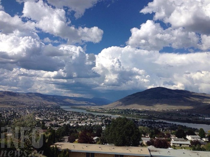
Kamloops, as well, only saw small amounts of rain, although higher elevation weather stations, such as Helmer Lake near the fire-threatened community of Logan Lake, did get four millimetres.
READ MORE: Get ready to see smoke in Okanagan from huge controlled burn on White Rock Lake wildfire
After sunshine this past weekend, the clouds are moving back in today, Aug. 30, but, again, rainfall is going to be minimal and scattered, Erven said.
“Today, over the Okanagan, there is a chance of seeing afternoon showers,” she said. “If they do develop, they will be on the light side of things, very isolated in nature. No thunderstorm risk today. For tomorrow, an upper low is going to swing through the province and bring, at least, an increased chance of seeing an isolated heavy downpour.”
Still, the chance of such rainfall is in the 30 per cent range today, hitting 40 per cent tomorrow. The low pressure system will also bring winds of 20 km/hr with gusts up to 40 km/hr.
Those forecasts are for cities in the region. B.C. Wildfire does the forecasting for the higher elevations and where the wildfires are burning, Erven said, adding that fires can generate their own winds.
The Skaha Creek wildfire started on Saturday and has grown to 100 hectares. No evacuation orders or alerts have been issued even though it’s only about six kilometres southwest of Penticton.
READ MORE: Crews work to get handle on wildfire burning near Penticton
The winds hitting the Penticton area, while possibly gusting to 40 km/hr, will be from the north today and tomorrow.
Everything starts changing again on Wednesday as a high pressure system should bring sunny skies to the region going into the Labour Day Long weekend with highs hitting 27 Celsius in Kamloops and 24 C in the Okanagan by Saturday.
That system will be temporary with a 60 per cent chance of showers forecast for the region on Sunday. Looking that far ahead, however, brings with it a lower confidence rating in terms of accuracy.
To contact a reporter for this story, email Rob Munro or call 250-808-0143 or email the editor. You can also submit photos, videos or news tips to the newsroom and be entered to win a monthly prize draw.
We welcome your comments and opinions on our stories but play nice. We won't censor or delete comments unless they contain off-topic statements or links, unnecessary vulgarity, false facts, spam or obviously fake profiles. If you have any concerns about what you see in comments, email the editor in the link above.
News from © iNFOnews, 2021