Image Credit: SHUTTERSTOCK
December 30, 2019 - 11:30 AM
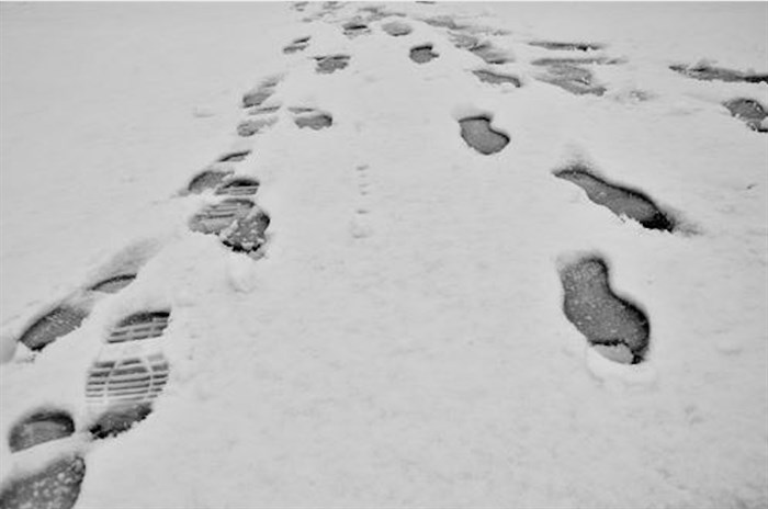
There’s snow and rain in the Kamloops forecast as 2019 draws to a close but temperatures through this week are expected to stay above seasonal normals for this time of year.
Environment Canada meteorologist Armel Castellan says the incoming weather system has sparked a snowfall warning for the South and North Kamloops regions, including Kamloops, the Central and North Okanagan, and the Shuswap. The snow will begin later today, Dec. 30, and intensify during the night before it tapers off and becomes mixed with rain tomorrow evening.
Castellan says a second active weather system is expected to pass over the region on Thursday, which could bring rising freezing levels, and a snow and rain mix to the region again.
"It's the type of weather conditions where it's a good idea to check the forecast frequently," Castellan says.
He says to expect slippery sections on the Coquihalla Highway over the next few days.
The year is ending on a sour weather note in Ontario.
The Weather Network reports extended periods of freezing rain overnight Sunday led to significant ice accretion, or buildup, across parts of central and eastern Ontario, resulting in power outages affecting more than 18,000 Hydro One customers. Residents in affected areas are being urged to stay off the roads if possible today.
Closer to home, the forecast calls for a cloudy day in Kamloops today with a 30 per cent chance of wet flurries, the wind east at 20 km/h and a high of 1 Celsius. Between two to four centimetres of snow is expected overnight with a low of 0 C.
You can expect snow mixed with rain tomorrow changing to rain in the afternoon before becoming a 40 per cent chance of showers late in the afternoon. The snow level is expected to rise to 1,000 metres in the afternoon with a high of 3 C. Between two to four cm of snow is expected, although up to 10 cm could fall over higher terrain.
The weather office is calling for a mix of sun and cloud on Wednesday with a 60 per cent chance of showers and a high of 6 C. Wednesday night should see cloudy periods with a 60 per cent chance of rain showers or flurries and a high of -2 C.
Sunshine is expected Thursday with a high of 0 C. Clouds are expected to move in overnight with a 70 per cent chance of flurries and a low to -7 C.
Flurries or rain showers are in the forecast for Friday with a high of 4 C and an overnight low to -2 C.
The weekend looks as though it will be mainly cloudy on Saturday and Sunday with temperatures above seasonal normals at 2 C for Saturday and 3 C on Sunday.
Normal temperatures at this time of year in Kamloops are highs of -1 C and lows of -8 C.
— This story was updated at 12:53 p.m. Monday, Dec. 31, 2019, to say Environment Canada has now included Kamloops in the snowfall warning.
To contact a reporter for this story, email Steve Arstad or call 250-488-3065 or email the editor. You can also submit photos, videos or news tips to tips@infonews.ca and be entered to win a monthly prize draw.
We welcome your comments and opinions on our stories but play nice. We won't censor or delete comments unless they contain off-topic statements or links, unnecessary vulgarity, false facts, spam or obviously fake profiles. If you have any concerns about what you see in comments, email the editor in the link above.
News from © iNFOnews, 2019