(STEVE ARSTAD / iNFOnews.ca)
March 30, 2020 - 1:45 PM
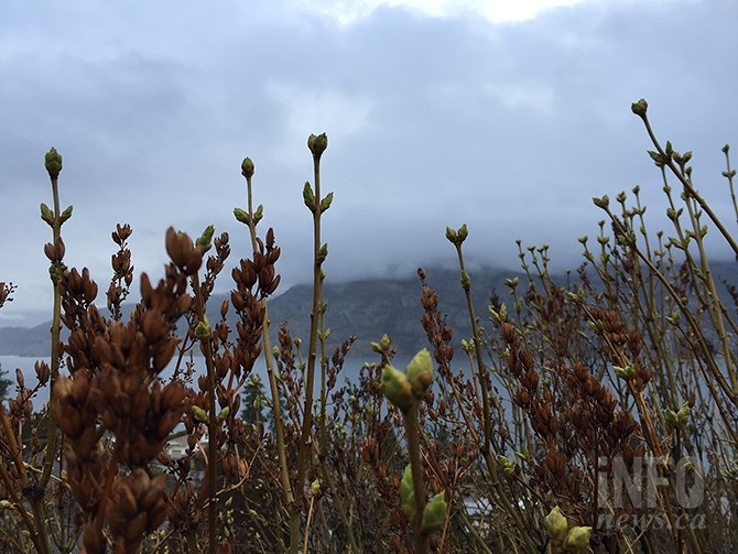
A couple of days of unstable weather lie ahead for residents of the Okanagan before clearing skies and warming temperatures return for the latter half of the week.
“We are dealing with a cold, unstable airmass from the coast today and next will come the remains of an Arctic front,” Environment Canada meteorologist Doug Lundquist says.
Bands of showers moving through the valley today, March 30, are expected to fall as snow over higher elevations on the Coquilhalla Highway.
Those conditions have prompted Environment Canada to issue a snowfall warning for the Coquihalla Highway between Hope and Merritt, where five to 10 more centimetres of snow could fall today.
Lundquist says an Arctic front, currently lying between Quesnel and Williams Lake, is expected to move south to Kamloops by noon Tuesday, but it may or may not get as far south as the Okanagan.
“I’m calling it an Arctic airmass for Kamloops, not for the Okanagan. It’s going to be a one-day wonder if it does arrive, with temperatures dipping to quite a bit below average around mid-week before a warming trend brings temperatures, probably above normal highs, by the weekend,” Lundquist says.
The cold front is going to have a more lengthy and chilling effect on Calgary, where daily highs are expected to be in the -7 C to -10 C range Tuesday through Thursday, with lows to -15 C on Tuesday and Wednesday night. Compare that to Calgary’s normal high and low for this time of year of 8 C and -5 C.
Today’s showers and 9 C high in the Okanagan should be followed by a 30 per cent chance of showers and a high of 9 C Tuesday. Penticton should see a high of 10 C today and mainly sunny skies tomorrow, along with a high of 9 C.
The Arctic front’s effects will be felt Wednesday with a high of 4 C in the Okanagan and an overnight low dipping to -8 C.
Sunny skies are expected to return Thursday with a gradual warming trend taking place for the rest of the week.
Thursday’s high of 8 C will be followed by a mix of sun and cloud Friday through Sunday with highs reaching 13 and 14 C over the weekend.
Normal temperatures at this time of year in the Okanagan are highs of 12 C and lows of 0 C.
To contact a reporter for this story, email Steve Arstad or call 250-488-3065 or email the editor. You can also submit photos, videos or news tips to tips@infonews.ca and be entered to win a monthly prize draw.
We welcome your comments and opinions on our stories but play nice. We won't censor or delete comments unless they contain off-topic statements or links, unnecessary vulgarity, false facts, spam or obviously fake profiles. If you have any concerns about what you see in comments, email the editor in the link above.
News from © iNFOnews, 2020