Seth Borenstein And M.k. Wildeman

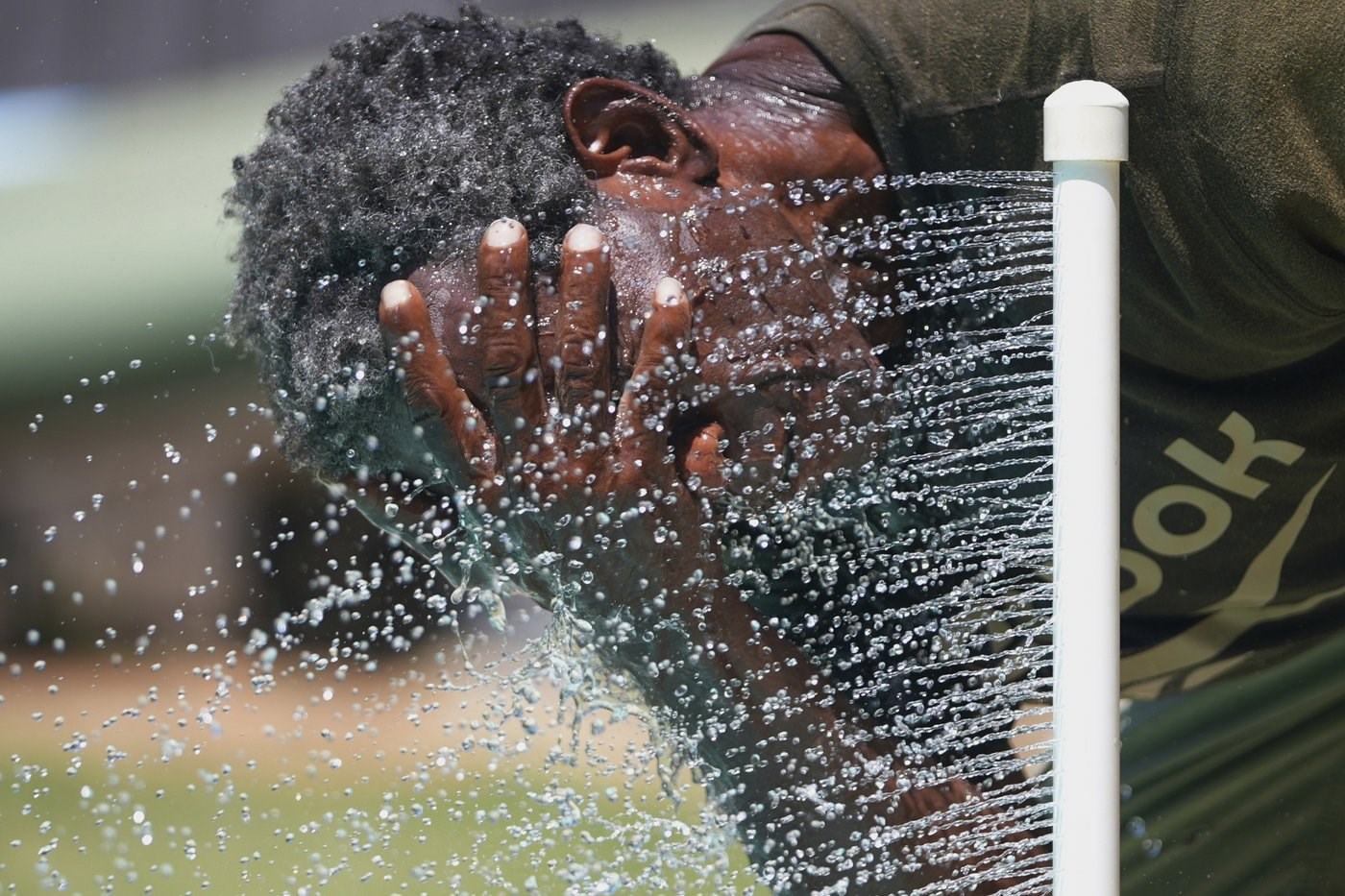
FILE - Paul Williams cools off in water while taking a break from yard work in Richardson, Texas, July 31, 2025. (AP Photo/LM Otero, File)
Republished August 10, 2025 - 8:09 AM
Original Publication Date August 10, 2025 - 5:41 AM
More than 70 million Americans sweated through the muggiest first two months of summer on record as climate change has noticeably dialed up the Eastern United States' humidity in recent decades, an Associated Press data analysis shows.
And that meant uncomfortably warm and potentially dangerous nights in many cities the last several weeks, the National Weather Service said.
Parts of 27 states and Washington, D.C., had a record amount of days that meteorologists call uncomfortable — with average daily dew points of 65 degrees Fahrenheit or higher — in June and July, according to data derived from the Copernicus Climate Service.
And that's just the daily average. In much of the East, the mugginess kept rising to near tropical levels for a few humid hours. Philadelphia had 29 days, Washington had 27 days and Baltimore had 24 days where the highest dew point simmered to at least 75 degrees, which even the the weather service office in Tampa calls oppressive, according to weather service data.
Dew point is a measure of moisture in the air expressed in degrees that many meteorologists call the most accurate way to describe humidity. The summer of 2025 so far has had dew points that average at least 6 degrees higher than the 1951-2020 normals in Washington, Baltimore, Pittsburgh, Richmond, Columbus and St. Louis, the AP calculations show. The average June and July humidity for the entire country east of the Rockies rose to more than 66 degrees, higher than any year since measurements started in 1950.
“This has been a very muggy summer. The humid heat has been way up,” said Bernadette Woods Placky, chief meteorologist at Climate Central.
Twice this summer climate scientist and humidity expert Cameron Lee of Kent State University measured dew points of about 82 degrees at his home weather station in Ohio. That's off the various charts that the weather service uses to describe what dew points feel like.
“There are parts of the United States that are experiencing not only greater average humidity, especially in the spring and summer, but also more extreme humid days,” Lee said. He said super sticky days are now stretching out over more days and more land.
High humidity doesn't allow the air to cool at night as much as it usually does, and the stickiness contributed to multiple nighttime temperature records from the Ohio Valley through the Mid-Atlantic and up and down coastal states, said Zack Taylor, forecast operations chief at the National Weather Service's Weather Prediction Center. Raleigh, Charlotte, Nashville, Virginia Beach, Va., and Wilmington, N.C., all reached records for the hottest overnight lows. New York City, Columbus, Atlanta, Richmond, Knoxville, Tennessee and Concord, New Hampshire came close, he said.
“What really impacts the body is that nighttime temperature,” Taylor said. “So if there’s no cooling at night or if there’s a lack of cooling it doesn’t allow your body to cool off and recover from what was probably a really hot afternoon. And so when you start seeing that over several days, that can really wear out the body, especially of course if you don’t have access to cooling centers or air conditioning.”
An extra hot and rainy summer weather pattern is combining with climate change from the burning of coal, oil and natural gas, Woods Placky said.
The area east of the Rockies has on average gained about 2.5 degrees in summer dew point since 1950, the AP analysis of Copernicus data shows. In the 1950s, 1960s, 1970s, 1980s and part of the 1990s, the eastern half of the country had an average dew point in the low 60s, what the weather service calls noticeable but OK. In four of the last six years that number has been near and even over the uncomfortable line of 65.
“It's huge,” Lee said of the 75-year trend. “This is showing a massive increase over a relatively short period of time.”
That seemingly small increase in average dew points really means the worst ultra-sticky days that used to happen once a year, now happen several times a summer, which is what affects people, Lee said.
Higher humidity and heat feed on each other. A basic law of physics is that the atmosphere holds an extra 4% more water for every degree Fahrenheit (7% for every degree Celsius) warmer it gets, meteorologists said.
For most of the summer, the Midwest and East were stuck under either incredibly hot high pressure systems, which boosted temperatures, or getting heavy and persistent rain in amounts much higher than average, Taylor said. What was mostly missing was the occasional cool front that pushes out the most oppressive heat and humidity. That finally came in August and brought relief, he said.
Humidity varies by region. The West is much drier. The South gets more 65-degree dew points in the summer than the North. But that's changing.
University of Georgia meteorology professor Marshall Shepherd said uncomfortable humidity is moving further north, into places where people are less used to it.
Summers now, he said, “are not your grandparents’ summers.”
___
Borenstein reported from Washington and Wildeman reported from Hartford, Connecticut.
___
The Associated Press’ climate and environmental coverage receives financial support from multiple private foundations. AP is solely responsible for all content. Find AP’s standards for working with philanthropies, a list of supporters and funded coverage areas at AP.org.
News from © The Associated Press, 2025