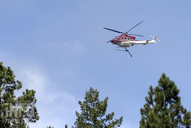
FILE PHOTO
(ADAM PROSKIW / iNFOnews.ca)
August 10, 2021 - 11:32 AM
Some residents on the west side of Irish Creek Road north of Vernon are allowed to return to their homes as evacuation orders placed on their properties have been downgraded to alerts.
The orders were initially issued because of the White Rock Lake wildfire.
Most homes being downgraded are all located in Electoral Area ‘B’ of the Regional District of North Okanagan, although the downgraded status also includes 20 properties not within the Okanagan Indian Band IR#1, but still on the west side of Irish Creek Road and Beatrice Road.
Those addresses are all located on Irish Creek Road, the house numbers are 257, 259, 280, 300, 304, 306, 396, 398, 424, 570, 576, 590, 610, 614, 620, 640, 644, 664, 668, and 678.
READ MORE: Some evacuation orders, alerts lifted near White Rock Lake wildfire but heat set to return
Residents are reminded that properties are still on alert and to be ready leave their homes again on short notice.
An evacuation order may need to be re-issued and, if deemed necessary, the Evacuation Order process with re-commence, according to the regional district.
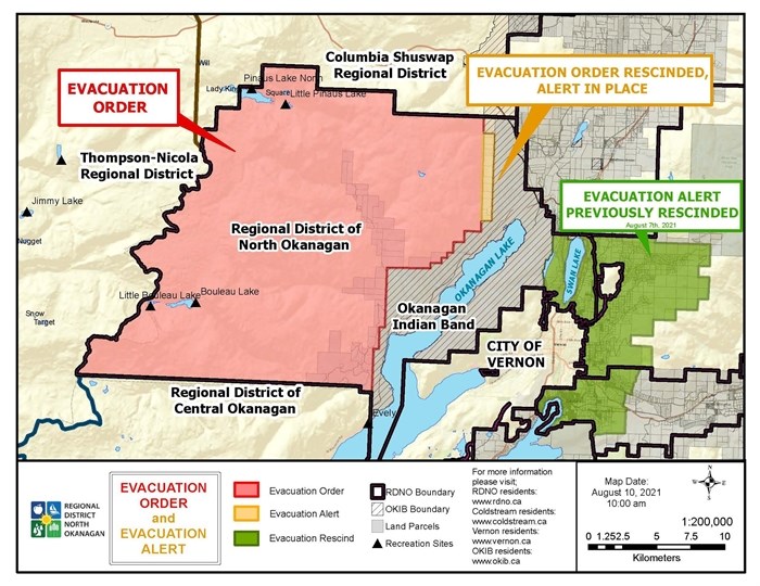
An evacuation order remains in effect for many other Area B properties.
They include every dwelling on Bouleau Lake and Pinaus Lake, as well as Whiteman Creek Road (140, 464), Six Mile Creek Road (442, 503, 545, 550, 560, 651, 655, 659, 661, 730, 735, 801, 809, 878, 890, 901, 1001, 1070, 1075, 1135, 1195, 1221, 1250, 1470), Cain Road (485, 17, 65), Beau Park Road (75, 79, 305, 311, 315), Banks Road (10, 15, 50, 93), Siwash Creek Road (221, 225, 235, 267, 278) and 1100 Bouleau Lake Road.
For the latest on the evacuation orders and alerts, go to the Regional District of the North Okanagan website here.

This map indicates which parts of the RDNO are under evacuation orders and alerts on Aug. 10, 2021.
Image Credit: Regional District of North Okanagan
To contact a reporter for this story, email Dan Walton or call 250-488-3065 or email the editor. You can also submit photos, videos or news tips to the newsroom and be entered to win a monthly prize draw.
We welcome your comments and opinions on our stories but play nice. We won't censor or delete comments unless they contain off-topic statements or links, unnecessary vulgarity, false facts, spam or obviously fake profiles. If you have any concerns about what you see in comments, email the editor in the link above.
News from © iNFOnews, 2021