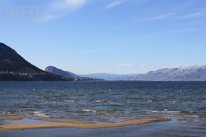
Prospects for flooding on Okanagan Lake or any of its tributaries seems pretty limited at this time, as April ends on a cool and dry note, resulting in snowpacks melting in an orderly fashion, at least, so far.
(STEVE ARSTAD / iNFOnews.ca)
April 30, 2020 - 7:30 AM
In terms of spring flooding, it’s a totally different world in the Okanagan compared to B.C.’s Cariboo and Chilcotin regions.
Ministry of Forests, Lands and Natural Resource Operations Public Safety Section Head Shaun Reimer says he’s been fielding a number of inquiries about the state of the water level of Okanagan Lake and its tributary creeks over the past few days.
“It’s probably been triggered by what’s happening in the Cariboo. Our higher elevation melt hasn’t started yet, but low to mid elevation melting is happening at a good and normal pace. It’s a good scenario for us so far,” he says.
The last two weeks of April are ending on a relatively dry and cool note in the Okanagan, which has meant a slow start to snowpack melt and no additional precipitation.
“When we refer to a measured snow melt, we also mean different elevations are melting at different times. You can never say never — heat or heavy rain could come — but what is happening now is just what we would like,” Reimer says.
Some north Okanagan creeks are running high because they are being fed by mid elevation snowpacks, but none are at flood levels yet. Reimer says Okanagan Lake is rising at about one centimetre a day and he expects that will increase somewhat with warmer days and-or rain.
“If the higher elevations want to wait a bit more before melting, I’m happy to see that happen,” he says.
Reimer says it has crossed his mind the lake level might end up being too low, but he says he has the flexibility to pull back on the outflow if he has to.
“If it turns out we don’t get full pool, we’ll catch up later, similar to last year when we had precipitation last summer,” he says.
David Campbell, hydrologist at B.C. River Forecast Centre says this year’s snowpack melt has so far focused on lower and mid elevation levels.
“It’s a quiet progression, without high flows we’ve seen in other regions like the Cariboo,” he says.
“There is some risk from pockets of high elevation snow, but probably not as high as what we saw in 2018,” he says.
Campbell says we are coming into potentially warmer and showery weather over next week.
“We’re into a cycle where we should start to see higher flows in the next week or two,” he says.
To contact a reporter for this story, email Steve Arstad or call 250-488-3065 or email the editor. You can also submit photos, videos or news tips to tips@infonews.ca and be entered to win a monthly prize draw.
We welcome your comments and opinions on our stories but play nice. We won't censor or delete comments unless they contain off-topic statements or links, unnecessary vulgarity, false facts, spam or obviously fake profiles. If you have any concerns about what you see in comments, email the editor in the link above.
News from © iNFOnews, 2020