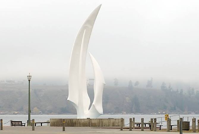
Fog over Okanagan Lake.
Image Credit: Adam Proskiw
February 17, 2015 - 7:26 PM
EVEN THE METEOROLOGISTS AREN'T TOO SURE
KELOWNA - It may not seem like a real valley inversion — the kind locals dread which leaves a thick layer of cloud hovering just overhead, lasting sometimes for weeks — but the inversion and the rolling fog clouds it is causing are very real, enough to cause flight cancellations at Kelowna International Airport.
Airport spokeswoman Jenelle Hynes confirmed the first two flights of Tuesday morning, Air Canada and Alaska Airlines, were cancelled because the planes could not get into the airport Monday night. Three more flights were cancelled earlier Tuesday morning — two from Air Canada and one from Westjet — but Hynes said things have been normal since then and they don't expect any more delays.
Environment Canada Metoerologist Lisa Coldwells explained the late winter sun and light winds are playing a role by heating up the clouds, thinning them out and then pushing them around
“The clouds can’t get above a certain altitude,” Coldwells said. “That’s why it can be foggy one minute and then cloudy then next. It’s very hard to forecast.”
Coldwells said the high pressure ridge causing the inversion is forecast to stay in place until the end of the month, before breaking up and allowing the return of colder, more seasonal weather.
“It’s tempting to think it, but spring is not here yet,” she said.
To contact a reporter for this story, email jmcdonald@infonews.ca, call 250-575-0521. To contact the managing editor, email Marshall Jones at mjones@infotelnews.ca or call 250-718-2724.
— This story was updated at 9:02 a.m., Feb. 18.
News from © iNFOnews, 2015