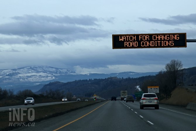
FILE PHOTO
(JENNIFER STAHN / iNFOnews.ca)
May 11, 2022 - 4:15 PM
If you plan on driving through high mountain passes in or out of the southern Interior between tomorrow night and Friday morning, be warned, snow is on the way.
Environment Canada has issued a special weather statement covering the Coquihalla Highway, Okanagan Connector, Allison Pass, Paulson Summit and Kootenay Pass this afternoon, May 11.
A trough of low pressure is moving across southern B.C. Thursday night, May 12, and snow levels will lower to 1,000 metres or less, the weather statement said.
The weather office said there is still some uncertainty about how much snow will fall.
For the latest on the special weather statement, along with other watches and warnings, go to Environment Canada's public weather alert web page here.
The latest road conditions can be found on Drive B.C.'s website here.
To contact a reporter for this story, email Shannon Ainslie or call 250-819-6089 or email the editor. You can also submit photos, videos or news tips to the newsroom and be entered to win a monthly prize draw.
We welcome your comments and opinions on our stories but play nice. We won't censor or delete comments unless they contain off-topic statements or links, unnecessary vulgarity, false facts, spam or obviously fake profiles. If you have any concerns about what you see in comments, email the editor in the link above.
News from © iNFOnews, 2022