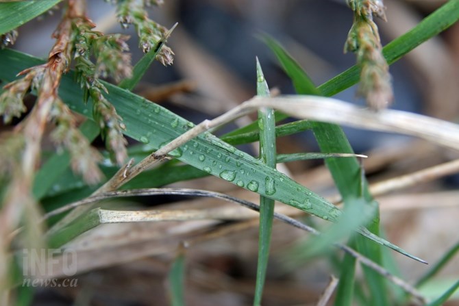
It's a wet start to spring in the Thompson-Okanagan.
(JENNIFER STAHN / iNFOnews.ca)
March 20, 2015 - 10:27 AM
THOMPSON-OKANAGAN - Spring has officially sprung and based on the forecast, you should have your umbrella and rain boots handy.
Some in the region woke to rain Friday, March 20, and Environment Canada is calling for more over the next few days.
A chance of rain begins today throughout the region and Saturday will bring 5 to 10 millimetres of rain. Even with rain temperatures will remain just above seasonal normals of 10 to12 Celsius Friday and Saturday.
Sunday will bring a mix of sun and cloud and similar temperatures and then rain will again hit the Okanagan on Monday, followed by a chance of rain Tuesday. Kamloops will start the week with cloud cover.
Rain is also expected on Interior highways through Saturday morning, with as much as 20 mm of rain expected on the Coquihalla as well as 2 to 6 cm of snow on mountain passes.
The rain coupled with the warm temperatures has Avalanche Canada calling for a high risk of avalanche at the alpine elevations and a considerable risk at the treeline and below treeline elevations in the North and South Columbia regions. The Kootenay Boundary and Glacier National Park regions are currently under a moderate risk but are expected to increase to considerable at the treeline and above on Saturday.
To contact a reporter for this story, email Jennifer Stahn at jstahn@infonews.ca or call 250-819-3723. To contact an editor, email mjones@infonews.ca or call 250-718-2724.
News from © iNFOnews, 2015