FILE PHOTO
Image Credit: wikimedia commons
August 08, 2017 - 4:00 PM
KELOWNA – With no end in sight for one of the driest, hottest summers on record, the City of Kelowna is taking steps to ensure there is enough water to fight fires.
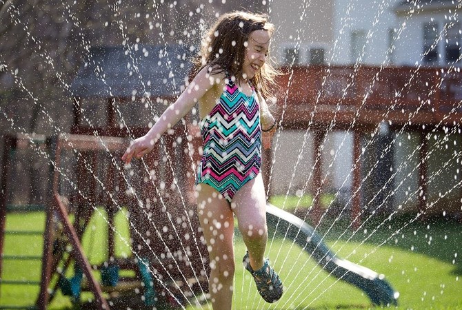
Stage 1 restrictions are now in place across Kelowna, meaning properties with an odd number address can water yards on Tuesdays, Thursdays and Saturdays. Even-numbered addresses can water on Wednesdays, Fridays and Sundays.
No properties are to water on Mondays, according to a release from the City.
Automatic underground irrigation systems should run between midnight and 6 a.m. but manual watering can also be done between 7 p.m. and midnight on assigned days.
“There hasn’t been significant rainfall in over 60 days so residents are asked to be thoughtful about the water they use to help prevent the need to move to more severe restrictions,” the release says.
Water restriction stages run from ‘normal’ through to ‘Stage 4’ with increasing water use restrictions.
Ed Hoppe, water quality supervisor, says moving to the next stage of water restrictions has nothing to do with the amount of water in Okanagan Lake.
“We’ve obviously had extraordinary lake levels this spring,” he says. “The restriction is needed to reduce high demand on the system at any given time, such as when irrigations systems all turn on. It’s about ensuring our water delivery system can keep up with the demand for drinking water, irrigation, and commercial use while still ensuring we can accommodate emergency situations such as fighting fires.”
Environment Canada says a stagnant airmass is responsible for “unusually-persistent warmth” that has settled over much of southern B.C.
And there will be no relief in the near future, according to Caroline Floyd, a meteorologist with the Weather Network. She calls smoke and haze a “wildcard” that makes forecasting difficult.
“On the one hand, with less heat input from the sun, temperatures can struggle to rise as high as they otherwise might, meaning it can be hard to reach forecast high temperatures,” she says. “By the same token, however, nighttime lows are also impacted. As less heat manages to escape the surface during the night, overnight lows and morning temperatures can stay warmer than expected, making for a higher 'starting point'.”
Hoppe says while restrictions are in place the City of Kelowna will be monitoring areas where water use is significantly higher “to help educate residents and businesses about the restrictions.”
To contact a reporter for this story, email Adam Proskiw or call 250-718-0428 or email the editor. You can also submit photos, videos or news tips to the newsroom and be entered to win a monthly prize draw.
We welcome your comments and opinions on our stories but play nice. We won't censor or delete comments unless they contain off-topic statements or links, unnecessary vulgarity, false facts, spam or obviously fake profiles. If you have any concerns about what you see in comments, email the editor in the link above.
News from © iNFOnews, 2017