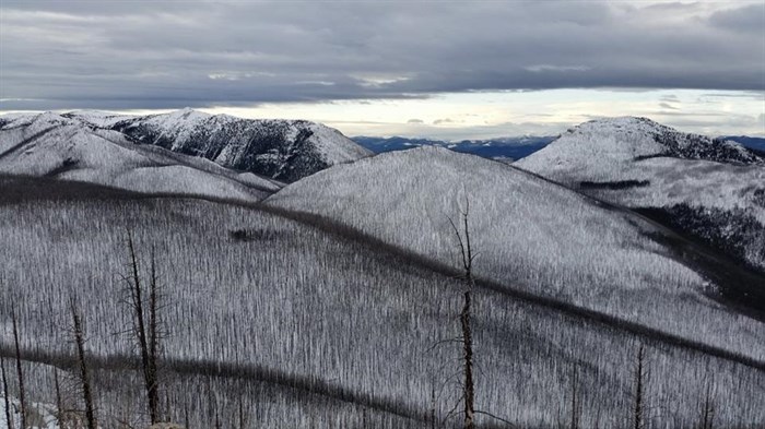
Snowpacks, which were higher than normal earlier this year, have quickly disappeared throughout the region.
Image Credit: Anthony Stahn
May 10, 2016 - 2:30 PM
NORTH AND SOUTH THOMPSON THE ONLY REGIONS WITH NORMAL SNOW LEVELS
THOMPSON-OKANAGAN - Snowpack levels are plunging across the province, bringing the province to record lows, the result of April’s warm weather and record-breaking heat wave.
The most recent bulletin from the B.C. River Forecast Centre says the province is averaging a record 53 per cent of normal snow pack levels, dropping 38 per cent since April 1.
Of the 183 snow survey measurements, 33 had record low snowpack measurements, with some breaking records dating back as far as 50 years.
Much variability continues in different parts of the province though, with the north and parts of the Cariboo, Central Coast, Skagit, East Kootenay and Similkameen regions below 50 per cent.
Snowpacks in the Okanagan, Boundary, West Kootenay, Peace, Nechako, Vancouver Island, Lower Fraser and Upper Columbia regions are between 60 and 75 per cent of normal.
Only the North and South Thompson regions currently enjoy normal snow packs of roughly 100 per cent.
Precipitation levels were well below normal in the southern part of the province during April, ranging from just 20 to 50 per cent of normal.
As a result spring run-off is roughly three to four weeks ahead of normal and have already, or are reaching, freshet peak, the bulletin notes.
To contact a reporter for this story, email John McDonald or call 250-808-0143 or email the editor. You can also submit photos, videos or news tips to the newsroom and be entered to win a monthly prize draw.
We welcome your comments and opinions on our stories but play nice. We won't censor or delete comments unless they contain off-topic statements or links, unnecessary vulgarity, false facts, spam or obviously fake profiles. If you have any concerns about what you see in comments, email the editor in the link above.
News from © iNFOnews, 2016