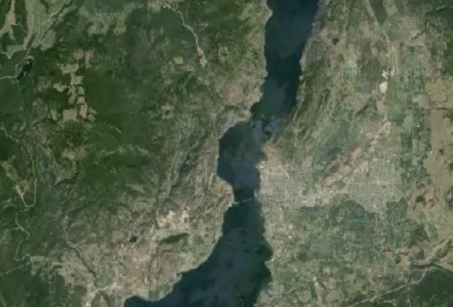
Image Credit: Google Earth
March 26, 2015 - 10:30 AM
KELOWNA - We all know Kelowna and the Central Okanagan have grown over the last 30 years but Google Earth shows us just how much.
This time lapse of satellite pictures from Google Earth shows the amazing changes in this area of the world from 1984 to 2012. According to Wikipedia and other sources, in 1984, roughly 60,000 people called Kelowna home. You’re watching that population double.
Zoom in tight and watch the disappearance of green in the Glenmore area, though credit the Agricultural Land Reserve — most of that green farmland in East Kelowna and Rutland remained. Development is perhaps more dramatic on the other side of the bridge in West Kelowna and Peachland. You see the Coquihalla Connector appear in 1987-88, then massive changes in the populated areas.
Then, zoom out and witness the amount of logging in the area that you probably never noticed before. With 30 years of perspective, you can see not just deforestation but also reforestation in some areas.
And just when you think human activities are responsible for most of the changes, have a look at the amazing transformation of the South Slopes and Okanagan Mountain Provincial Park from the fire in 2003.
What did you notice? Tell us in the comments below.
**Please note: This time lapse will not play on mobile devices.
To contact the reporter for this story, email Marshall Jones at mjones@infonews.ca or call 250-718-2724.
News from © iNFOnews, 2015