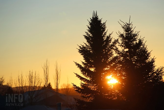
(JENNIFER STAHN / iNFOnews.ca)
February 19, 2015 - 7:55 AM
THOMPSON-OKANAGAN - We’ve been experiencing spring-like weather here in the Southern Interior and while that is not set to change we may see another blitz of snow before Saturday.
Environment Canada is still calling for above seasonal normal temperatures during the day but with overnight lows close to seasonal normals of -3 Celsius and a chance of showers predicted overnight, there is a chance we’ll see snow before the week is out.
Vernon runs the highest risk of snow with the snow level expected to lower to the valley bottom. There is a 40 per cent chance of showers beginning late Thursday afternoon and through the morning. There is also a 30 per cent chance of flurries on Saturday for the North Okanagan city. Temperatures are expected to be just above seasonal normals of 4 C through early next week.
In the Central Okanagan, Kelowna faces a 60 per cent chance of showers starting late this evening and a 40 per cent chance Friday morning. The snow level is expected to lower to 1,000 metres. Saturday brings a 30 per cent chances of flurries. Temperatures will range from a seasonal normal high of 4 C on Sunday to 7 C over the next several days.
In Penticton, a high of 10 C is expected today but a 40 per cent chance of showers overnight and the snow level dipping to 800 metres by the morning means the South Okanagan is not out of the woods just yet either. A 30 per cent chance of flurries Saturday morning is also expected for Penticton and temperatures will dip to a high of 4 C, the seasonal normal, on Sunday.
Kamloops is expected to be slightly warmer, and drier, through the weekend but can still expect a 60 per cent chance of showers beginning this evening and after midnight. The snow level will lower to 900 metres overnight. Temperatures will range from 6 C to 8 C through Monday and then the mercury is expected to climb to 10 C. The seasonal normal high temperature in Kamloops at this time of year is 5 C.
Earlier this week, Environment Canada Meteorologist Lisa Coldwells said the ‘pseudo-spring’ conditions were expected to persist through at least the beginning of March, with just a ‘blip’ that would see temperatures dip to seasonal normal highs over the weekend.
To contact a reporter for this story, email Jennifer Stahn at jstahn@infonews.ca or call 250-819-3723. To contact an editor, email mjones@infonews.ca or call 250-718-2724.
News from © iNFOnews, 2015