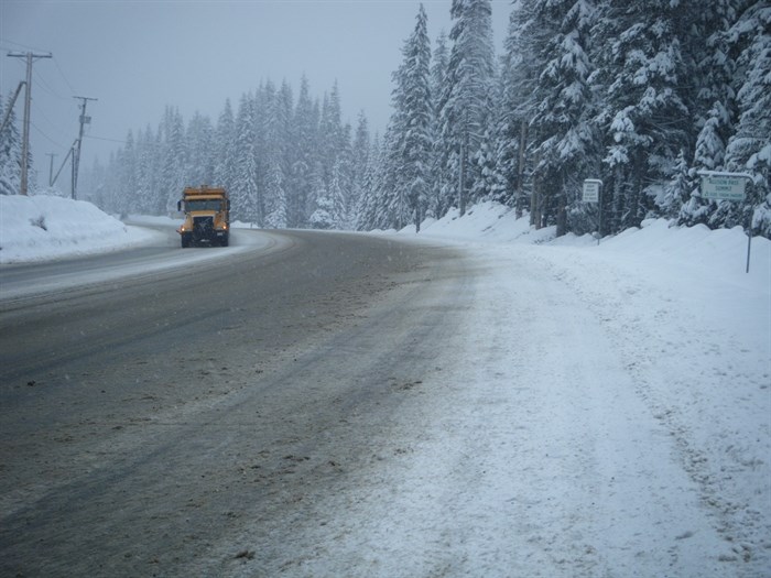
FILE PHOTO - A snow plow works on Highway 3 at the Allison Pass Summit on April 8, 2013.
Image Credit: Contributed/B.C. Ministry of Transportation
February 23, 2020 - 8:41 AM
Snow is expected to fall across the Southern Interior today but the biggest weather change will be on mountain passes, which could see quite a significant accumulation of snow.
A snowfall warning is being continued for the Coquihalla, from Hope to Merritt, with somewhere between 15 to 25 centimetres expected to fall.
"A frontal system will cross the B.C. interior today, spreading heavy snow to parts of the southern highway passes," an Environment Canada weather alert stated.
"Heavy flurries will continue Sunday night as an unstable airmass will setup over the province in the wake of the front. Total snowfall accumulations of 15 to 25 centimeters are expected by Monday morning. Snow will ease on Monday as the the system weakens."
Visibility may be suddenly reduced at times in heavy snow.
Weather in the mountains can change suddenly resulting in hazardous driving conditions.
To contact a reporter for this story, email Kathy Michaels or call 250-718-0428 or email the editor. You can also submit photos, videos or news tips to the newsroom and be entered to win a monthly prize draw.
We welcome your comments and opinions on our stories but play nice. We won't censor or delete comments unless they contain off-topic statements or links, unnecessary vulgarity, false facts, spam or obviously fake profiles. If you have any concerns about what you see in comments, email the editor in the link above.
News from © iNFOnews, 2020