(ADAM PROSKIW / iNFOnews.ca)
January 06, 2022 - 8:30 AM
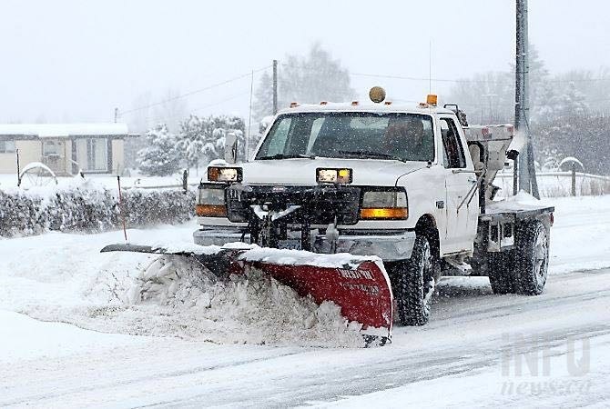
Snowfall is expected to taper off this morning, Jan. 6, in the Okanagan and Kamloops, then hammer the North Okanagan and Shuswap later today and through Friday.
Environment Canada has issued more snowfall warnings for the region that’s just digging out from this morning’s heavy snowfall. There were 11 centimetres of snow recorded in Kelowna and seven cm at the Kalamalka weather station.
READ MORE: Heavy snowfall warnings issued for Thompson and Okanagan
Kamloops and rest of the Okanagan will catch a bit of a break from the heaviest snowfall on Friday.
“The warm front has gone through Clearwater down to Enderby down through Nakusp – that arc – that’s where the snow is going to be focused on for the remainder of today,” Environment Canada meteorologist Jonathan Bau told iNFOnews.ca.
When there’s a southwest flow it tends to hit the Enderby through Lumby area hardest.
Another five cm may fall this morning as the snow stops before “redeveloping” late in the day and continuing through Friday.
Another 15 to 25 cm is forecast for the Shuswap and 10 to 20 cm for the North Okanagan except for 20 to 30 cm near Enderby.
The snowfall warning covers the Okanagan, Shuswap, Nicola, South Thompson, Similkameen, Boundary and Fraser Canyon so mountain passes will also see significant accumulations.
Kamloops seems likely to avoid the heaviest of the snowfall as the warning does not cover that city.
The forecast for Kamloops calls for two to four cm of snow today with wind chills of -25 Celsius this morning, rising to -16 C this afternoon and -14 C Friday. There’s a 70% chance of flurries Friday.
The next snowstorm will also have less of an impact on Kelowna with Penticton’s forecast calling for only a 60% chance of flurries tonight and Friday.
While 11 cm is one of the heaviest snowfalls to hit Kelowna this winter it’s by no means a record. On Jan. 5, 2015, 20.4 cm of snow fell in Kelowna. On Jan. 18, 1975 there were 51 cm of snow on the ground.
The good news for those not keen on all the shovelling or bad driving conditions is that temperatures are forecast to rise to 1 C by early next week in the Okanagan and as high as 3 C in Kamloops. There is sunshine in the forecast for the weekend and only a chance of flurries next week.
A warm front is moving in off the Pacific Ocean up the west cost of B.C. and will spill over into the Southern Interior, more significantly in the Merritt, Kamloops, Clearwater areas than in the Okanagan, Bau said.
See the Environment Canada weather warnings, that cover much of B.C., here.
Alpine base at regional ski hills:
-
146 cm – Sun Peaks
-
153 cm – Silver Star
-
165 cm – Big White
-
165 cm – Apex
To contact a reporter for this story, email Rob Munro or call 250-808-0143 or email the editor. You can also submit photos, videos or news tips to the newsroom and be entered to win a monthly prize draw.
We welcome your comments and opinions on our stories but play nice. We won't censor or delete comments unless they contain off-topic statements or links, unnecessary vulgarity, false facts, spam or obviously fake profiles. If you have any concerns about what you see in comments, email the editor in the link above.
News from © iNFOnews, 2022