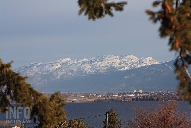
(STEVE ARSTAD / iNFOnews.ca)
April 02, 2020 - 2:30 PM
It may be April but the outdoor tool of choice tomorrow might be a snow shovel rather than a hoe in the Okanagan with up to two centimetres of snow expected.
April is off to a cool start in the valley as evidenced by the forecast snow, and a tie for the lowest temperature ever recorded in Kelowna yesterday, April 1.
Environment Canada meteorologist Bobby Sekhon says last night the mercury dipped to -7.8 Celsius in Kelowna which tied the record low temperature for the day also recorded in 1936 and in 2002. Other Okanagan cities came within a degree or two of record lows last night.
Sekhon says the cold pattern will continue until next week, when a brief warming trend is expected. However, he says a fluctuating weather pattern is indicated for April with cooler conditions expected to return in time for next weekend.
Today, April 2, Vernon and Kelowna should see a mix of sun and cloud with southwest winds at 20 km/h. Today’s high should reach 6 C with a low of -3 C, accompanied overnight by a 40 per cent chance of flurries in Vernon and Kelowna.
Penticton should see increasing cloudiness today with a 40 per cent chance of flurries late this afternoon and winds south at 20 km/h.
Periods of snow with accumulations up to two cm are expected overnight, with today’s high reaching 8 C in Penticton followed by a low tonight of -2 C.
Friday should see mainly cloudy conditions in Vernon and Kelowna, along with a 40 per cent chance of flurries in the morning, turning to rain by noon.
Vernon and Kelowna could see two cm of snow, accompanied by southwest winds at 20 km/h, gusting to 40 near noon.
Friday’s high is expected to only reach 6 C, with an overnight low of -8 C.
Penticton should see mainly cloudy skies Friday with a 30 per cent chance of flurries changing to a 70 per cent chance of showers or flurries around noon. Penticton's high should reach 6 C with a low of -8 C overnight.
The weekend is expected to be a mix of sun and cloud on Saturday with a high of 6 C, with cloudy skies and a high of 8 C on Sunday.
Temperatures are on the rebound to start next week, with a high of 10 C under sunny skies and a mix of sun and clouds on Tuesday and Wednesday, with highs of 15 C and 16 C respectively.
To contact a reporter for this story, email Steve Arstad or call 250-488-3065 or email the editor. You can also submit photos, videos or news tips to tips@infonews.ca and be entered to win a monthly prize draw.
We welcome your comments and opinions on our stories but play nice. We won't censor or delete comments unless they contain off-topic statements or links, unnecessary vulgarity, false facts, spam or obviously fake profiles. If you have any concerns about what you see in comments, email the editor in the link above.
News from © iNFOnews, 2020