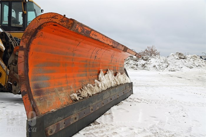
(JENNIFER STAHN / iNFOnews.ca)
December 29, 2017 - 6:18 AM
The B.C. Southern Interior, already under record snowfall in some areas, could get lots more snow before Sunday.
Environment Canada extended its snowfall warnings for most cities and towns and mountain passes in the Thompson and Okanagan regions as well as Nicola, Shuswap and Similkameen.
The weather man predicts another 10 to 20 cms of snow in town and 20 to 25 cms of snow on mountain passes, specifically the Coquihalla between Hope and Merrit and Highway 3 from Hope to Kootenay Pass. Drivers are warned visibility may add to already hazardous driving conditions.
The cause of all this snow hasn't really changed: Two weather systems are colliding overhead, mixing cold air from the north with moist air from the Pacific, creating lots of snow.
"Snow will start this morning, intensify in the afternoon and continue into Saturday morning," Environment Canada says.
Yesterday, Kelowna set a new snowfall record.
To contact a reporter for this story, email Ashley Legassic or call 250-319-7494 or email the editor. You can also submit photos, videos or news tips to the newsroom and be entered to win a monthly prize draw.
?We welcome your comments and opinions on our stories but play nice. We won't censor or delete comments unless they contain off-topic statements or links, unnecessary vulgarity, false facts, spam or obviously fake profiles. If you have any concerns about what you see in comments, email the editor in the link above.
News from © iNFOnews, 2017