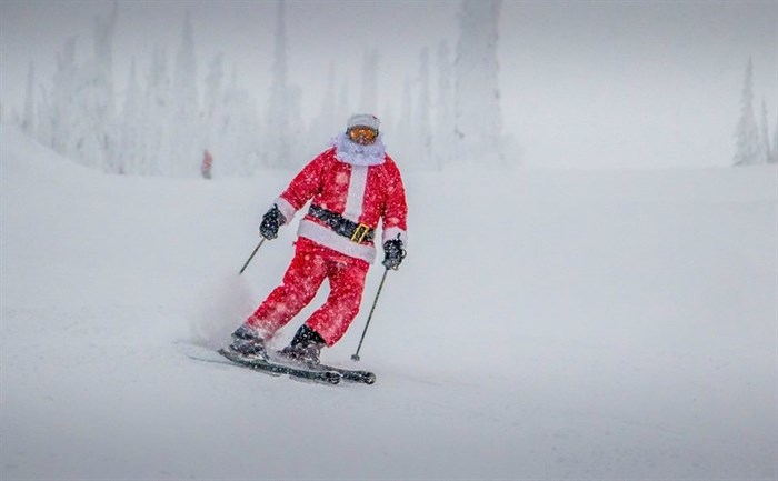
FILE PHOTO - With 10 days before Christmas Eve, there's not much in the weather forecast to encourage hope for a white Christmas in Kamloops, Vernon, Kelowna or Penticton this year.
Image Credit: Big White via Facebook
December 14, 2020 - 1:00 PM
It’s beginning to look a lot like we’re not going to have a white Christmas in Kamloops and the Okanagan this year.
With 10 days to go before Christmas Eve, none of the meteorological signs are there to point to snow-covered valley floors this year, says Environment Canada meteorologist Lisa Erven.
A number of low pressure systems are expected to cross the B.C. southern Interior, starting tonight, Dec. 14. The first system is predicted to bring snow to Kamloops around midnight and to the Okanagan starting in the early morning tomorrow, Erven says.
Between five to eight centimetres of snow is expected, with between 10 and 15 cm predicted for the Coquihalla Highway and the Okanagan Connector.
An active weather pattern is expected to continue right into next weekend.
“As these low pressure systems make their way across the province, the temperatures that are hovering around that zero degree mark are going to make it very difficult to predict whether it will be snow, rain or maybe a mix that will fall,” Erven says. “We don’t actually see a warm signal until we get into next weekend’s weather, when we are expecting another system that will likely bring rain to Kamloops and the Okanagan, and snow likely to mountain passes."
Temperatures by next weekend could reach 6 Celsius and 7 C for Kamloops and 3 C to 4 C for Vernon, Kelowna and Penticton on Saturday and Sunday.
Looking further into the month, Erven says there are a few factors that will determine whether Kamloops and the Okanagan see a white Christmas this year.
“It’s going to depend on how much snow accumulates on valley bottoms during this week with all these systems moving through. With temperatures hovering around 0 C, it will be hard for snow to stick around, especially if we get that last system this weekend that brings warmer temperatures,” she says.
Erven says looking towards the week before Christmas, the general trend appears to be hinting at a high pressure ridge building over British Columbia that will bring clear skies and the potential for temperatures above the seasonal norm of 0 C for Kamloops and -1 C for Vernon, Kelowna and Penticton.
“That is expected to linger over the interior right through Christmas day,” she says.
So, does it look like a white Christmas is in the forecast for Kamloops and the Okanagan?
“When we think of a perfect Christmas, with snow on the ground and snow falling, for those conditions to set up, we’re really looking for arctic air to be entrenched in the valley bottoms,” she says.
Currently, there are no signs of an Arctic outbreak destined for the region before Christmas.
"Without that Arctic air, we’re battling whether the precipitation will be rain or snow and how much sun will be out to melt that snow. There are so many factors to consider. I would hold off on bets for a white Christmas right now,” Erven says.
To contact a reporter for this story, email Steve Arstad or call 250-488-3065 or email the editor. You can also submit photos, videos or news tips to tips@infonews.ca and be entered to win a monthly prize draw.
We welcome your comments and opinions on our stories but play nice. We won't censor or delete comments unless they contain off-topic statements or links, unnecessary vulgarity, false facts, spam or obviously fake profiles. If you have any concerns about what you see in comments, email the editor in the link above.
News from © iNFOnews, 2020