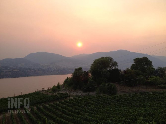
Image Credit: FILE PHOTO
July 19, 2021 - 6:00 PM
Smoke is going to be a fact of life in the Thompson and Okanagan regions for months to come.
Environment Canada’s almost daily Special Air Quality Statements cover broad areas of these regions but don’t pinpoint which area is going to be hit hardest at any particular time.
That’s just too hard to predict.
“Subtle changes in wind directions or changes in upper air stability, all those things will impact the amount of smoke you’ll be getting,” Environment Canada meteorologist Bobby Sekhon told iNFOnew.ca. “Day to day, it’s hard to say exactly where the smoke is going to be. The fires are evolving as we speak. Of course, in B.C., the complex terrain, different pressure patterns, winds are always changing as well on the local level – for all these reasons it creates quite tricky situations.”
Unlike some past years, where smoke in the region has descended from wildfires from as far away as Siberia, this smoke is from B.C. fires.
Smoke from a large fire in Oregon is drifting north and east while smoke from huge fires in Saskatchewan and Manitoba are circling into Eastern Canada and down into the Northeast United States, Brett Anderson, senior meteorologist with AccuWeather, said.
“There’s a lot of fires in Western Canada but not a lot of big fires like we’ve seen in recent years with climate change,” he said.
In 2018, there were 2,117 wildfires in B.C. with a record 1.35 million hectares burned, including two in Northwestern B.C. that burned more than 100,000 hectares each.
So far this year, there have already been 1,135 fires with more than 275,000 ha burned. The biggest in the Kamloops fire district is the Sparks Lake fire at more than 45,000 hectares.
Smaller fires mean less overall smoke but the hot dry weather that is expected to persist well into September doesn’t have any strong winds, so the smoke is lingering in local valleys.
There may also be some smoke drifting in from fires in Washington State, Sekhon said.
The forecast is for more of the same.
“If we look at the big picture, you can expect smoke anywhere in the B.C. Interior especially the south,” he said.

The darker the colour on the map, the worse the smoke. Shuswap Lake and Chase can be seen in the clear area near the top, middle of the image. Okanagan Lake and Penticton are near the bottom, middle.
Image Credit: Submitted/Firesmoke.ca
An interactive map at Firesmoke.ca does provide some visuals on where smoke is most heavily concentrated based on PM2.5 particulate matter and where it’s likely to move over the next two days.
It currently shows that, for the most part, it’s far smokier over much larger areas in northern Alberta and north of Winnipeg.
For the Air Quality Health Index, go here. It’s showing Kamloops at 10+, meaning very high and the North Okanagan at 10. All areas of the Okanagan and Kamloops are forecast to be in the moderate (5) range tonight and tomorrow.
Information on how wildfire smoke can affect your health can be seen here.
More information on current air quality can be seen here.
To contact a reporter for this story, email Rob Munro or call 250-808-0143 or email the editor. You can also submit photos, videos or news tips to the newsroom and be entered to win a monthly prize draw.
We welcome your comments and opinions on our stories but play nice. We won't censor or delete comments unless they contain off-topic statements or links, unnecessary vulgarity, false facts, spam or obviously fake profiles. If you have any concerns about what you see in comments, email the editor in the link above.
News from © iNFOnews, 2021