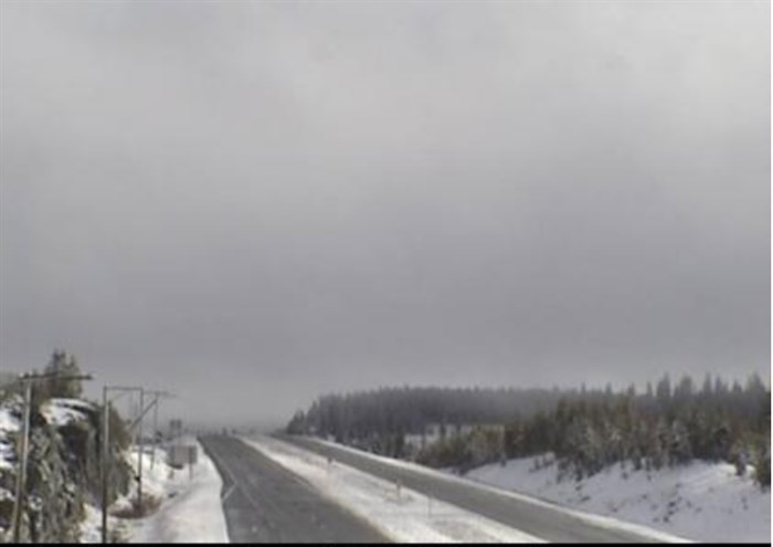
A traffic web camera view of the Okanagan Connector 25 km east of Hwy 5A/97C Jct, looking east at 11:53 a.m. Oct. 28, 2018.
Image Credit: Drive B.C.
October 28, 2018 - 12:10 PM
The weather is affecting road conditions on the Okanagan Connector.
Visibility is limited with fog between Highway 97 and Brenda Mine Road for 33.9 kilometres, that is West Kelowna to 10 kilometres west of Pennask Summitt, the Drive B.C. website says.
Conditions are slushy with slippery sections between Sunset Main Road and Raspberry Road for 42.4 kilometres, that is 20 kilometres west of Merrritt to 10 kilometres east of Pennask Summitt.
For more information go to the Drive B.C. webpage.
To contact a reporter for this story, email Shelby Thevenot or call (250) 819-6089 or email the editor You can also submit photos, videos or news tips to the newsroom and be entered to win a monthly prize draw.
We welcome your comments and opinions on our stories but play nice. We won’t censor or delete comments unless they contain off-topic statements or links, unnecessary vulgarity, false facts, spam or obviously fake profiles. If you have any concerns about what you see in comments, email the editor in the link above.
News from © iNFOnews, 2018