Image Credit: Shutterstock
January 10, 2022 - 8:31 AM
After frigid temperatures late in December, and lots of snow in early January, an unusual warm spell is arriving in the Thompson and Okanagan regions this week.
While there are streamflow warnings issued for the Lower Mainland and Vancouver Island, no such warnings are yet on the books for the Southern Interior.
“I wouldn’t say there’s no concern – obviously you want to be concerned any time the freezing level rises in the middle of the winter – but I think, at this point in time, we don’t have to be over-concerned,” Environment Canada meteorologist Dave Wray told iNFOnews.ca today, Jan. 10.
“Obviously, we’ll keep our eye on the situation and keep an eye on what the River Forecast Centre has to say over the next couple of days.”
READ MORE: Heavy rain, rising temperatures could mean floods on Lower Mainland, Vancouver Island
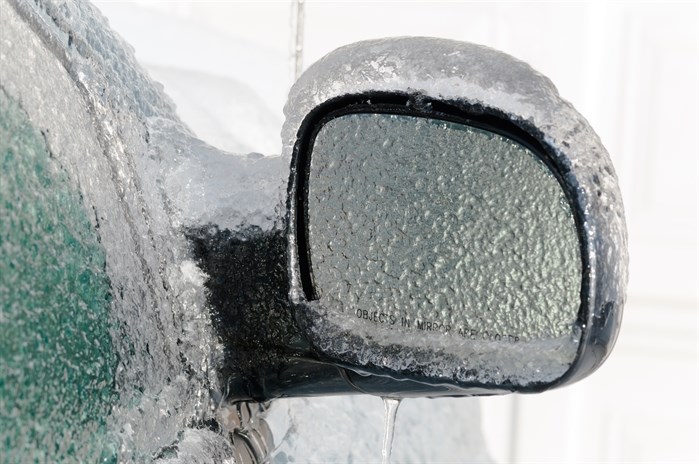
What is of more concern is the chance of freezing rain.
“With this warm front coming through and the warm air streaming over top it’s going to still remain quite cold in the (Okanagan) valley, so the chance for some spotty freezing rain is there, just because it’s so cold in the valleys,” Wray said. “It’s going to take awhile for that cold air to leave the area."
There’s the chance of a couple of centimetres of snow in the Okanagan tomorrow but it will warm up to about 3 Celsius by Thursday.
Kamloops is getting warmer faster with highs of 2 C forecast for tomorrow and 6 C by Thursday with 10 to 15 millimetres of rain over the next couple of days.
“Not necessarily today, but when more of the warmer air comes in later overnight and through tomorrow we do have a chance of freezing rain in the forecast for Kamloops,” Wray said. “Any amount of freezing rain is not a good thing. Even a couple of millimetres are going to create some issues.”
Freezing levels will rise to 1,600 to 1,700 metres so mountain highways could see freezing rain as well.
The warming trend is unusual for this time of year and things should return to more seasonal temperatures with daytime highs of -1 C to 0 C and overnight lows of -5 C to -6 C by the weekend, Wray said.
Check the River Forecast Centre webpage here.
Alpine snow base for regional ski hills.
-
158 cm. – Sun Peaks
-
150 cm. – Silver Star
-
162 cm. – Big White
-
167 cm. – Apex
To contact a reporter for this story, email Rob Munro or call 250-808-0143 or email the editor. You can also submit photos, videos or news tips to the newsroom and be entered to win a monthly prize draw.
We welcome your comments and opinions on our stories but play nice. We won't censor or delete comments unless they contain off-topic statements or links, unnecessary vulgarity, false facts, spam or obviously fake profiles. If you have any concerns about what you see in comments, email the editor in the link above.
News from © iNFOnews, 2022