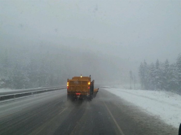
FILE PHOTO - Travelling behind a snow plow on the Coquihalla Highway on Nov 2, 2013.
Image Credit: Contributed/B.C. Ministry of Transportation/Jess M. Cote
March 28, 2021 - 9:21 AM
A spring storm offering up strong winds and high elevation snowfall is expected to cause issues everywhere from mountain passes to valley bottoms, Environment Canada says.
“After a relatively mild start to the weekend, a spring storm system will cross southern B.C. today,” Environment Canada said in a statement.
“Initially, snow levels will be nearer to the summits then gradually fall through the morning. Later today, snow levels will drop further, reaching valley bottoms for many locations following the passage of a cold front.”
In the wake, the country’s meteorological agency said front flurries will continue with further snow accumulations expected this evening.
“Blustery winds are also expected to give reduced visibilities at times in blowing snow,” Environment Canada said.
The Okanagan Connector, from Merritt to Kelowna, and the Trans-Canada Highway, from Eagle Pass to Rogers Pass, are subject to a special weather statement for heavy snow and potentially low visibility.
There’s a snowfall warning for the Coquihalla, from Hope to Merritt, with 15 to 25 cm of snow expected to fall before snow tapers off this evening. times in heavy snow.
Down in the valleys, the South Thompson, Nicola, Okanagan and Shuswap, are expected to get strong winds today and tonight.
“Gusty southwesterly winds will continue throughout the day, with wind gusts reaching 60 to 70 km/h at times,” Environment Canada reported.
“Later today, a strong cold front will begin to move through the area and bring a blast of cold northwesterly winds. Wind gusts of 60 to 80 km/h can be expected in some locations.”
It will be worst in the North Thompson, which is expected to see rapidly falling temperatures likely lead to icy surfaces tonight.
"Rain, gusty winds and mild temperatures will continue through the region today as a spring storm system traverses the BC Interior," reads the Environment Canada warning for the North Thompson.
"Later today strong northerly winds are expected to develop as a cold front moves through the area. Rain will change to a short period of snow accompanied by a rapid decline in temperatures."
To contact a reporter for this story, email Kathy Michaels or call 250-718-0428 or email the editor. You can also submit photos, videos or news tips to the newsroom and be entered to win a monthly prize draw.
We welcome your comments and opinions on our stories but play nice. We won't censor or delete comments unless they contain off-topic statements or links, unnecessary vulgarity, false facts, spam or obviously fake profiles. If you have any concerns about what you see in comments, email the editor in the link above.
News from © iNFOnews, 2021