Image Credit: NASA via Wikimedia Commons
October 13, 2018 - 4:30 PM
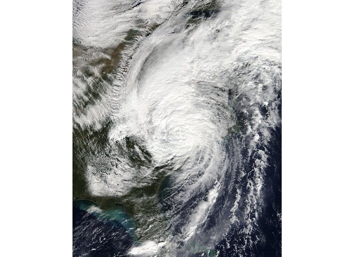
ST. JOHN'S, N.L. - Post-tropical storm Michael is expected to make its exit from Atlantic Canada, but not before bringing large swells, minor storm surges and changes in water levels to parts of Newfoundland and Labrador.
According to Environment Canada, Michael will quickly track over the Grand Banks and out to sea today.
The national weather forecaster says these conditions can pose a danger to those near the shoreline, but they expect infrastructure impacts to be minor.
Winds are expected to stay at around 110 km/h as Michael moves east.
Environment Canada advises people to continue monitoring the situation, noting that even small changes in the speed and track of the post-tropical storm can make a big difference in the forecast.
Much of Atlantic Canada was hit by heavy rain and winds on Friday.
News from © The Canadian Press, 2018