Image Credit: Shutterstock
January 17, 2022 - 8:33 AM
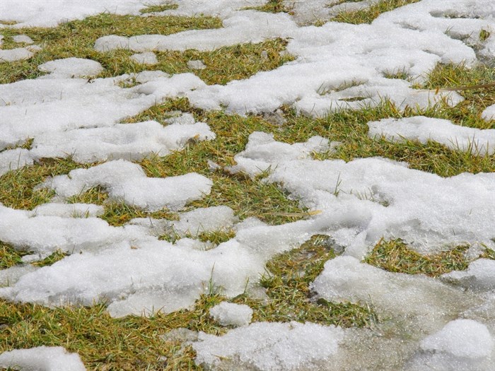
Despite the recent mild temperatures, don’t count winter out in the Okanagan or Kamloops.
“For January, February and March, we’re expecting temperatures to be below normal,” Environment Canada meteorologist Louis Kohanyi told iNFOnews.ca today, Jan. 17. “So, we will get those cool temperatures maybe at the end of January or into February. Winter is not over yet.”
That may be but, the high in the region will range from 3 Celsius (in Kamloops) to 5 C (in the Okanagan) today with a chance of rain showers or wet flurries today and overnight.
For the rest of the week – in fact, for the next 10 days – the forecast is for daytime highs to be above zero.
Thursday looks to be the warmest day with highs of 4 C, but it could start off with snow in the morning, turning to rain.
Much of the week should see a mix of sun and cloud during the days with overnights lows from 0 C tonight to -4 C later the week.
Normally, for this time of year, daytime highs average -2 C and overnight lows dip to -8 C.
READ MORE: iN VIDEO: Drone captures coyotes prancing around on Skaha Lake
Alpine base at regional ski hills:
-
164 cm. – Sun Peaks
-
150 cm. – Silver Star
-
156 cm. – Big White
-
168 cm. – Apex
To contact a reporter for this story, email Rob Munro or call 250-808-0143 or email the editor. You can also submit photos, videos or news tips to the newsroom and be entered to win a monthly prize draw.
We welcome your comments and opinions on our stories but play nice. We won't censor or delete comments unless they contain off-topic statements or links, unnecessary vulgarity, false facts, spam or obviously fake profiles. If you have any concerns about what you see in comments, email the editor in the link above.
News from © iNFOnews, 2022