Image Credit: File photo
April 20, 2016 - 4:00 PM
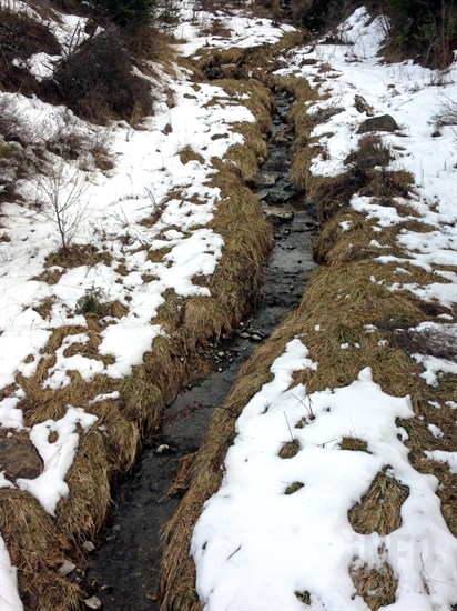
FAST MELT OF SNOWPACKS CAUSING FLOOD CONCERNS
THOMPSON-OKANAGAN - Swollen streams and flood warnings are the downstream signs of the larger-than-normal snowpacks and earlier-than-normal spring freshet.
The B.C. River Forecast Centre’s latest automated snow pillow network shows snow levels dropping sharply in the face of warm, dry conditions across most of the province.
Low- and mid-level snowpacks have largely melted early this spring leading to a drop in the snow water equivalent to 83 per cent on April 15, from the provincial average of 92 per cent on April 1.
Higher-elevation snowpacks are just beginning to decay, about two weeks earlier than normal.
While some parts of the province are well below the snow water equivalent this year, average or above average snow pack conditions continue in the Okanagan, Thompson, West Kootenay, Boundary and Columbia basins.
High runoff conditions have led to high streamflow advisories around the region and the closure of several parks along area creeks.
Find past stories on snowpack levels and spring runoff here.
To contact a reporter for this story, email John McDonald or call 250-808-0143 or email the editor. You can also submit photos, videos or news tips to the newsroom and be entered to win a monthly prize draw.
We welcome your comments and opinions on our stories but play nice. We won't censor or delete comments unless they contain off-topic statements or links, unnecessary vulgarity, false facts, spam or obviously fake profiles. If you have any concerns about what you see in comments, email the editor in the link above.
News from © iNFOnews, 2016