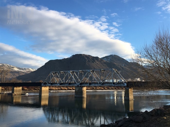
The South Thompson River from Riverside Park, Feb. 20, 2017.
(BRENDAN KERGIN / iNFOnews.ca)
March 01, 2017 - 1:17 PM
KAMLOOPS - If you thought winter was sticking round a little longer this year, you’re not alone, but fret not, spring will arrive.
February 2017 was abnormal, with colder temperatures and more than three times the usual snow for Kamloops.
Environment Canada meteorologist Doug Lundquist says the average temperature was more than 3 degrees colder than usual, sitting at roughly -3.3 Celsius compared to 0 C.
“The cold kind of won out this year,” Lundquist says. “Cold air was entrenched in the valleys.”
Because the cold air didn’t move out of valleys it kept temperatures from rising.
Overall the city received 27 centimetres of snow this year, compared to 8 cm on average. When added with all precipitation, it was a wetter month as well, with 27 mm falling this February, compared to 12 mm normally.
Anecdotally, Lundquist says it’s one of the three longest winters he’s seen in the Interior.
Danny Latin, spokesperson for Mount Paul Golf Course, says the course, which is typically the first to open in Kamloops, is still closed as the ground is remains frozen due to the low overnight temperatures. Last year the course was open around Family Day in mid-February.
“We’re hoping we’ll be on regular greens in 10 days, maybe sooner, maybe next weekend,” Latin says. “Last year was an abnormal year.”
Lundquist says a number of factors impacted this year’s winter, but the central reason was a lack of ice pack in the Arctic which caused higher pressure over the Bering Sea and the flow of Arctic air to move over B.C. He says the effects match what climate scientists say about climate change.
However, winter is loosening its hold.
“Spring has sprung,” Lundquist says.
The next week is forecast to be at or above average temperatures, and while a storm could bring winter back, Lundquist expects it won’t last long, though winter is still happening at higher elevations.
While the typical change of seasons on a calendar is March 21, Lundquist thinks it should be March 1 as the weather tends to become spring-like over the next week.
The upcoming spring is likely to be close to average for the South Thompson, though it’s hard to predict the season, as it’s easily shifted.
Summer isn't easier to predict, but Lundquist expects a warmer one than average because historically that's been the trend; summers are getting warmer.
Next winter has the potential to be a warmer and wetter El Nino year.
To contact a reporter for this story, email Brendan Kergin or call 250-819-6089 or email the editor. You can also submit photos, videos or news tips to the newsroom and be entered to win a monthly prize draw.
We welcome your comments and opinions on our stories but play nice. We won't censor or delete comments unless they contain off-topic statements or links, unnecessary vulgarity, false facts, spam or obviously fake profiles. If you have any concerns about what you see in comments, email the editor in the link above.
News from © iNFOnews, 2017