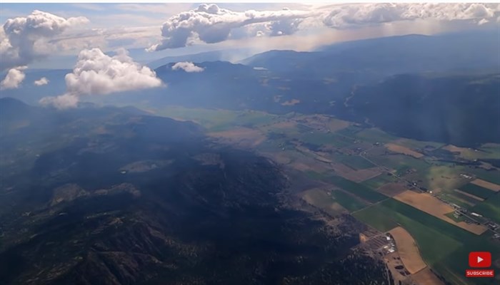
Westwold to the right in this image taken from the sky.
Image Credit: YOUTUBE/How I Fly
August 22, 2021 - 1:01 PM
A Kamloops pilot known for sharing videos of his perspective from the air is providing a bird's eye view of the damage caused by Interior wildfires.
In a video published Aug. 21, Dale Maher, flying in his Van's RV-6A, showed scenes of the Tremont Creek wildfire near Logan Lake and White Rock Lake wildfire near Monte Lake.
He noted in the video that he flew above the restricted airspace, reaching 6,500 and 9,500 feet.
READ MORE: Kamloops pilot showcases B.C.'s beauty from the air
The video shows blackened landscapes and smoke.
“I find it very interesting, you can see there’s this whole back of ground is burnt and scarred but there’s live trees all around it,” he said in the video.
The video was posted to his YouTube channel called How I Fly, which has more than 1,300 subscribers.
To contact a reporter for this story, email Carli Berry or call 250-864-7494 or email the editor. You can also submit photos, videos or news tips to the newsroom and be entered to win a monthly prize draw.
We welcome your comments and opinions on our stories but play nice. We won't censor or delete comments unless they contain off-topic statements or links, unnecessary vulgarity, false facts, spam or obviously fake profiles. If you have any concerns about what you see in comments, email the editor in the link above.
News from © iNFOnews, 2021