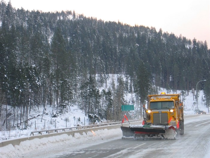
A snow plow is pictured at work on a B.C. highway in this undated photo from Flickr.
Image Credit: FLICKR
November 09, 2023 - 4:21 PM
It’s going to get very wintery on high elevation highways in the Southern Interior this weekend.
Environment Canada has issued a special weather statement warning upper elevation mountain passes will see between 20 and 30 centimetres of snow between Friday night, Nov. 10, through to Sunday morning.
A weather system laden with moisture is expected to cross southern BC over the Remembrance Day weekend.
The Coquihalla Highway from Merritt to Hope will see rain mixed with snow at first but that is expected to rapidly change to straight up snow Saturday morning and through to Sunday morning when the snow is expected to ease.
On the Trans-Canada Highway from Rogers Pass to Eagle Pass, Highway 3 through the Paulson Summit and Kootenay Pass, the weather office said light flurries will become snow, at times heavy, Friday night and continue through Saturday.
The heavy snow on Kootenay Pass will taper off late Saturday evening while the snow on the Rogers Pass should ease Sunday morning.
Meteorologists warn the snow will create difficult winter travel conditions including reduced visibility in snow and blowing snow.
For the latest on the special weather statement, go to Environment Canada’s public weather alert page here.
For the latest conditions on they highways, check out DriveBC here.
To contact a reporter for this story, email Howard Alexander or call 250-309-5343 or email the editor. You can also submit photos, videos or news tips to the newsroom and be entered to win a monthly prize draw.
We welcome your comments and opinions on our stories but play nice. We won't censor or delete comments unless they contain off-topic statements or links, unnecessary vulgarity, false facts, spam or obviously fake profiles. If you have any concerns about what you see in comments, email the editor in the link above. SUBSCRIBE to our awesome newsletter here.
News from © iNFOnews, 2023