Image Credit: Contributed
June 17, 2016 - 2:34 PM
CENTRAL OKANAGAN – Seven of the most popular hiking trails in the Central Okanagan are now easier to navigate thanks to a few recent improvements.
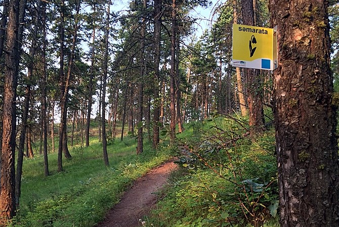
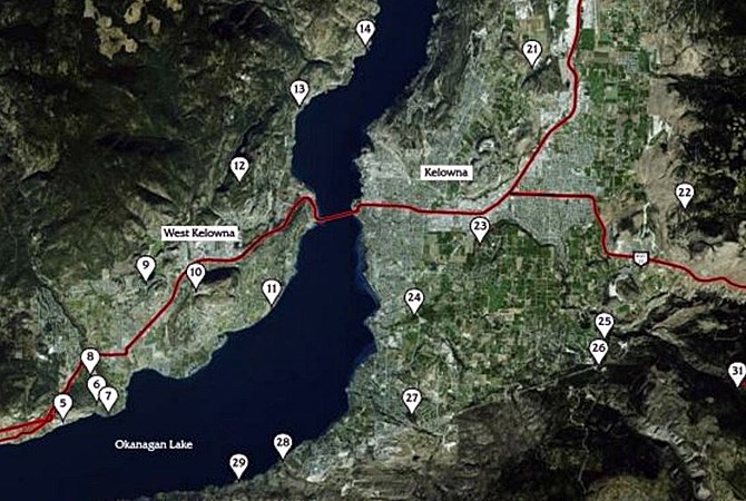
Trails in Glen Canyon, Kalamoir, Rose Valley, Trepanier Creek Greenway, Johns Family Nature Conservancy, the Mission Creek Greenway and Mission Creek Regional Park now have signage that ranks difficulty as well as gives a profile of what to expect.
“In our Guide to Regional Parks, we’ve always provided a simple rating system for many of our outings in the Take a Hike and Explore Your Parks programs,” regional district spokesperson Bruce Smith says in a media release. “But with a grant from the B.C. Community Recreation Program dedicated to improving trail signage and the visitor experience in our parks, we’ve been gradually rolling out a uniform trail naming and rating system along with trail profile information. So a visitor can determine before starting their hike, whether the trail experience will match or perhaps challenge their ability.”
The rating system is the same used by most ski hills with green circles suggesting a relatively easy outing. Blue squares are more challenging while black diamonds indicate a trail crossing steep, variable terrain with more obstacles and less maintenance.
In addition, online park trail maps are GPS enabled so hikers can use their smartphones or tablets to get navigate around, according to the release.
Trail ratings are available at information kiosks in the parks as well as on individual park webpages.
“We’re also very excited about a unique relationship involving our regional parks staff and local First Nations. Park visitors will notice recognition of the syilx/Okanagan culture with the new trail name signs,” Smith says in the release. “We’ve been collaborating for some time now with cultural services staff at Westbank First Nation and Sncwips Heritage Museum to develop and translate trail names in both English and the Okanagan nsyilxcn language. We’re also starting to install interpretive panels in these areas to further explain the cultural and historical significance of the name in order to raise awareness and provide some context for this important aspect of life in the Central Okanagan.”

Many of the Central Okanagan's best hiking trails now have uniform difficulty ratings as well as other recent improvement.
Image Credit: regionaldistrict.com
To contact a reporter for this story, email Adam Proskiw or call 250-718-0428 or email the editor. You can also submit photos, videos or news tips to the newsroom and be entered to win a monthly prize draw.
We welcome your comments and opinions on our stories but play nice. We won't censor or delete comments unless they contain off-topic statements or links, unnecessary vulgarity, false facts, spam or obviously fake profiles. If you have any concerns about what you see in comments, email the editor in the link above.
News from © iNFOnews, 2016