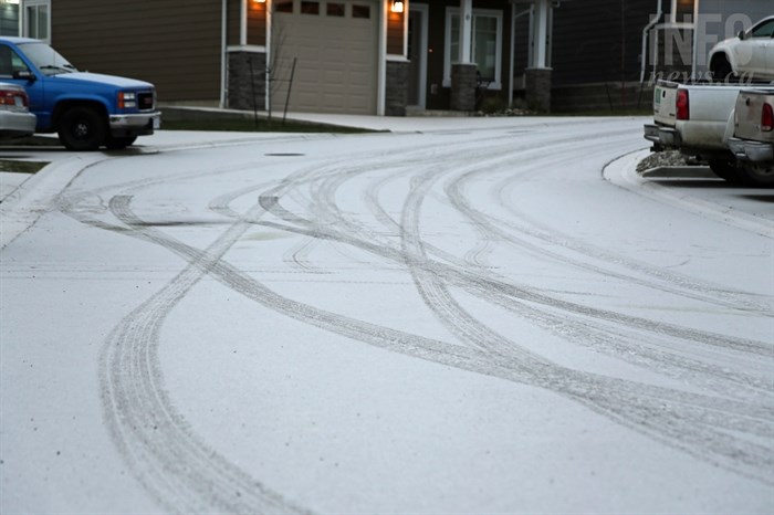
FILE PHOTO
(JENNIFER STAHN / iNFOnews.ca)
January 31, 2022 - 10:40 AM
An Arctic front is expected to strike deep into the Okanagan starting around noon tomorrow, Feb. 1.
That will likely see morning highs of about 2 Celsius turn to subzero temperatures in the afternoon, reaching -13 C overnight on Wednesday in Kamloops and -12 C in the Okanagan.
“We’re going to get 24 to 36 hours of Arctic air,” Environment Canada meteorologist Doug Lundquist told iNFOnews.ca.
Warm air will push the Arctic dome of cold air back up north but the combination of warm and cold air will trigger snowfalls of about five centimetres throughout the Thompson and Okanagan regions, with more likely at higher elevations.
“We’re going to go through this cold spell and the next warmup is going to be a big warmup,” Lundquist said. “I think, actually, next week could be quite warm and we’ll see the snow melt.”
The Environment Canada forecast calls for highs of 5 C in Kamloops and 3 C in the Okanagan on Saturday but Lundquist thinks it’s likely to be even warmer the following week.
“For the beginning of February we have the grey cool days of winter still but, by the first of March, we’re typically into the warmer, sunnier days of spring,” he said. “It’s a good transition month for us and the transition is from winter to spring.”
The cold and snow will hit just as we go into Groundhog Day, which is Wednesday. Highs are forecast to be in the -5 C to -6 C range that day but things will quickly get better.
“I’ve lived here (Kelowna) since 1993 and I never remember six weeks of winter after Groundhog Day,” Lundquist said.
This was forecast to be a minor La Nina winter, which tends to make it colder and wetter than a normal winter. That didn’t really happen with temperatures hovering just below the freezing mark, even during the day, for the past two weeks and little or no precipitation.
The La Nina effect was countered by climate change which tends to make it warmer, Lundquist explained. The relatively steady temperature also made it hard to predict when snow would fall so the forecast for significant snowfall this past weekend did not materialize, although there was some snow overnight.
Snow on Wednesday is pretty much guaranteed.
READ MORE: Okanagan Lake is slowly getting saltier
Heavy snowfall is expected today on the Coquihalla Highway between Hope and Merritt with up to 20 cm of wet snow in the forecast for this morning with another five cm this afternoon and again overnight.
From Merritt to Kamloops there’s a 60% chance of flurries through Tuesday morning.
Periods of snow are forecast to end near noon on the Okanagan Connector. That could leave five cm behind this morning with another snowfall starting at midnight and the chance of another five cm of snow overnight tonight.
Alpine snow base at regional ski hills:
-
178 cm – Sun Peaks
-
157 cm – Silver Star
-
160 cm – Big White
-
151 cm – Apex
To contact a reporter for this story, email Rob Munro or call 250-808-0143 or email the editor. You can also submit photos, videos or news tips to the newsroom and be entered to win a monthly prize draw.
We welcome your comments and opinions on our stories but play nice. We won't censor or delete comments unless they contain off-topic statements or links, unnecessary vulgarity, false facts, spam or obviously fake profiles. If you have any concerns about what you see in comments, email the editor in the link above.
News from © iNFOnews, 2022