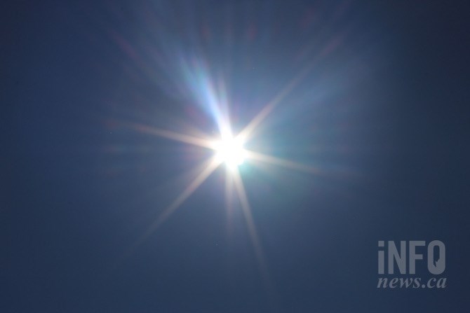
(ROB MUNRO / iNFOnews.ca)
August 09, 2021 - 2:35 PM
Instead of the typical warnings about heat and smoke, Environment Canada meteorologist Doug Lundquist had a different message today.
“Enjoy what we have,” Lundquist said under clear skies in Kelowna today, Aug. 9. “Get out and breathe deep. Right now.”
Because it’s not going to last.
Satellite views showed clear skies in the Kamloops and Central Okanagan areas but smoke was already moving into the Vernon and North Okanagan areas from the White Rock Lake wildfire and into the South Okanagan from fires in that region.
Cool wet weather helped settle those fires down over the weekend but a ridge of high pressure is building that could trigger the third round of heat warnings to be issued this summer.
Essentially, the Okanagan and Thompson regions have been under the same high pressure ridge since June when record-breaking high temperatures were set, Lundquist said.
There have only been a couple of breaks since then, mainly during the past two weekends. The high pressure ridge is building back again and will be about as strong as in June, but with a major difference.
“It is August,” Lundquist said. “It’s two months since the longest day of the year. The sun’s angle has gone down.”
That means cooler nights and less time to heat up during the day.
The forecast high is still expected to climb to 37 on Saturday in Kamloops and 36 in the Okanagan. It could nudge up to 40 in some places, most likely Lytton or Lillooet, he said.
The high pressure ridge, depending on which model is looked at, is expected to hold for at least a week to 10 days, Lundquist said, meaning above normal temperatures. Normal highs for this time of year are 29 in Kamloops and 27 in the Okanagan.
The ridge is also coming with winds of up to 40 km/h in some areas as it builds over the next couple of days but those should lighten considerably as the ridge settles in, he said.
“This heat is very concerning,” Lundquist said. “Thankfully, we had that rain and cooler weather on the weekend, but it was nowhere near what we need. Not even close.”
To contact a reporter for this story, email Rob Munro or call 250-808-0143 or email the editor. You can also submit photos, videos or news tips to the newsroom and be entered to win a monthly prize draw.
We welcome your comments and opinions on our stories but play nice. We won't censor or delete comments unless they contain off-topic statements or links, unnecessary vulgarity, false facts, spam or obviously fake profiles. If you have any concerns about what you see in comments, email the editor in the link above.
News from © iNFOnews, 2021