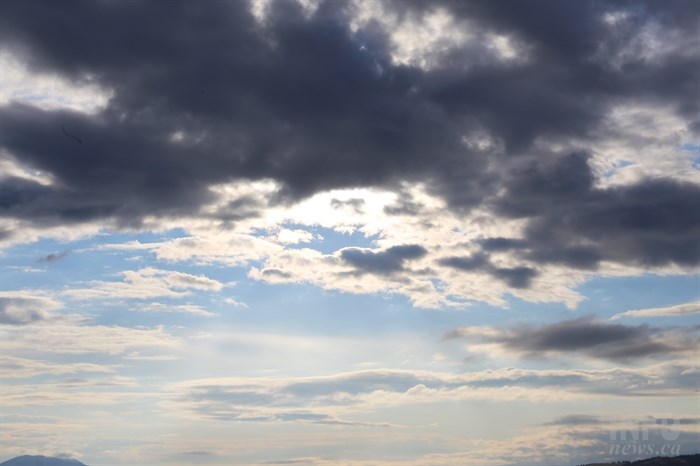
A chance of rain, along with a chance of thunderstorms, is expected today throughout the Interior.
(JENNIFER STAHN / iNFOnews.ca)
March 31, 2015 - 8:14 AM
THOMPSON-OKANAGAN - One more day and you might have thoughts the folks at Environment Canada were playing an odd April Fool’s Day prank, but it is only March 31 and there is a chance of thunderstorms in parts of the region today.
In Kamloops, Environment Canada is calling for a 70 per cent chance of showers during the day today and a 40 per cent chance in the early evening. A risk of a thunderstorm will accompany strong, gusty winds this afternoon before things calm down with a mix of sun and cloud through the rest of the week. Temperatures will remain just below seasonal normals of 14 Celsius.
In Vernon, the story will be much the same, though there is only a 60 per cent chance of showers during the day and the risk of a thunderstorm is later this afternoon. The rest of the week will bring a mix of sun and cloud and temperatures near seasonal normals. Heading into the more southern parts of the region, there is a 30 per cent chance of rain today, along with strong, gusting winds but thunderstorms are not in the forecast. Temperatures will be near seasonal normals of 12 C through the rest of the week.
At least a chance of showers or wet flurries is expected on many Interior highway passes through tonight with the snow level lowering to between 900 and 1,000 metres this morning and even lower overnight in some areas. Upwards of five to 10 centimetres of snow is expected at the Coquihalla Summit.
On Highway 1 between Eagle Pass and Rogers Pass showers will change to wet flurries in the afternoon and there is also a risk of a thunderstorm. It is expected to clear late in the evening.
Avalanche risk currently sits at moderate to considerable throughout the region and Avalanche Canada notes the North and South Columbia ranges have persistent weak layers that remain active and have the potential to produce very large avalanches. In Glacier National Park large areas are closed for explosive avalanche control and many smaller avalanches have been observed along the highway corridor.
To contact a reporter for this story, email Jennifer Stahn at jstahn@infonews.ca or call 250-819-3723. To contact an editor, email mjones@infonews.ca or call 250-718-2724.
News from © iNFOnews, 2015