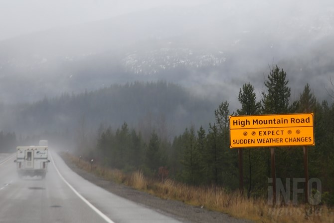
(JENNIFER STAHN / iNFOnews.ca)
May 02, 2020 - 7:15 AM
Flurries are expected on Interior highways tonight including the Coquihalla Highway and Okanagan Connector, according to Environment Canada.
"A vigorous cold front will cross the southern Interior of B.C. tonight. Rain will begin this evening, but as cold air moves in behind the front snow levels will drop rapidly. As this happens rain will change to flurries over higher elevations," according to the latest Environment Canada weather statement.
Between five to 10 centimetres of snow is possible over higher elevations of the Coquihalla Highway, from Hope to Merritt.
The Okanagan Connector at Pennask Summit, Highway 3 via Allison Pass, and Highway 3 from Paulson Summit to Kootenay Pass will likely see two to five cm, according to the statement.
"Strong, gusty winds are also possible with the passage of the front," according to the statement.
Weather in the mountains can change suddenly resulting in hazardous driving conditions.
Road conditions are available on DriveBC's website.
Please continue to monitor alerts and forecasts issued by Environment Canada. To report severe weather, send an email to BCstorm@canada.ca or tweet reports using #BCStorm.
To contact a reporter for this story, email Carli Berry or call 250-864-7494 or email the editor. You can also submit photos, videos or news tips to the newsroom and be entered to win a monthly prize draw.
We welcome your comments and opinions on our stories but play nice. We won't censor or delete comments unless they contain off-topic statements or links, unnecessary vulgarity, false facts, spam or obviously fake profiles. If you have any concerns about what you see in comments, email the editor in the link above.
News from © iNFOnews, 2020