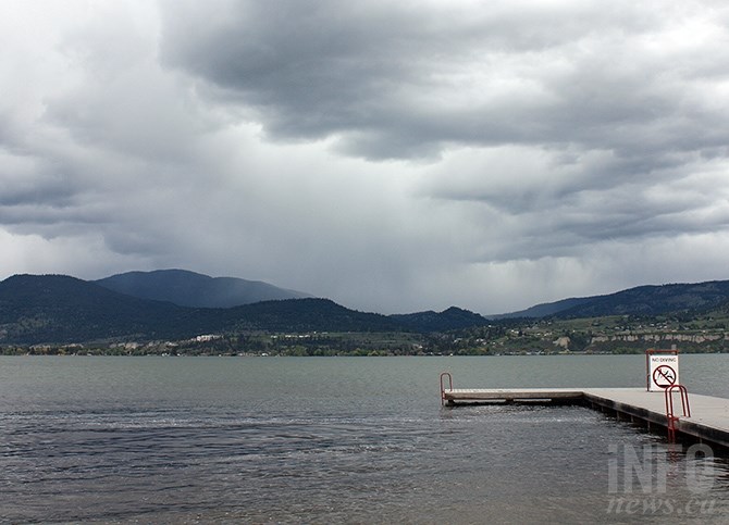
Okanagan Lake off Naramata Centre Beach on Monday, May 15, 2017. Residents living near Okanagan Lake need to be prepared for up to the next month and a half as conditions for an extended flood season continue in the Okanagan Valley.
(STEVE ARSTAD / iNFOnews.ca)
May 16, 2017 - 8:00 PM
PENTICTON - It looks like it might be another five to six weeks of anxious watching and finger crossing for those living around Okanagan Lake.
Okanagan Basin Water Board executive director Anna Warwick Sears says mid to late June is when the valley normally sees it’s highest water, just as the spring freshet is ending.
But right now, Okanagan Lake levels are already past the targeted level of 342.48 metres above sea level, which is what used to be commonly known as full pool. At 342.7 metres, the alke is already 20 cm higher than what water control experts would like to see in late June.
Warwick Sears says from here on in, it will be largely up to the weather with respect to how much more flooding we’ll see in the Okanagan.
“Our trouble to this point really comes down to the wet April we had,” she says.
A below normal snowpack in March turned into an above average snow pillow in April.
“There are things happening at high and low elevations. There’s lots of snow up high, increasing the impending melt, while rain at lower elevations is saturating the ground,” she says. “At the beginning of the ‘water year’ (fall) reservoirs were already full and the soil was saturated."
In March, the low snowpack had water managers concerned of a possible drought,” she says, noting the Mission Creek watershed — which provides 25 per cent of all water flowing into Okanagan Lake — has a higher than normal snowpack, and the snow has yet to melt.
“There’s lots of water to come,” she says.
The higher than normal precipitation, saturated soils and snow melt so far are the main reasons Okanagan Lake has filled up unusually early.
Warwick Sears says as much water as possible is being released through the Okanagan River Channel at the dam in Penticton without damaging the channel. Even if the dam wasn’t at the bottom of Okanagan Lake, the water still wouldn’t flow out of the lake fast enough.
There are also concerns the release of more water would add to flooding downstream.
“Dry days with moderate, average temperatures will help dry the soil out and slow down the rising lake levels. It all depends on the weather in the next five to six weeks,” she says.
Warwick Sears doesn’t think there is as much of a flooding threat downstream in Osoyoos.
“The Similkameen River is behaving itself, so the water levels in Osoyoos shouldn’t reach record levels. The lower lakes are full, but are discharging at roughly the same rate they are filling,” she says.
People living near lakes or rivers in the Okanagan should take the threat of flooding seriously, and be prepared, Warwick Sears says.
"The unstoppable thing right now is the rising waters of Okanagan Lake for an extended period of time until the snow pack comes down. More rain on wet soil won’t help either,” she says.
To contact a reporter for this story, email Steve Arstad or call 250-488-3065 or email the editor. You can also submit photos, videos or news tips to the newsroom and be entered to win a monthly prize draw.
We welcome your comments and opinions on our stories but play nice. We won't censor or delete comments unless they contain off-topic statements or links, unnecessary vulgarity, false facts, spam or obviously fake profiles. If you have any concerns about what you see in comments, email the editor in the link above.
News from © iNFOnews, 2017