(JENNIFER STAHN / iNFOnews.ca)
January 15, 2024 - 7:00 AM
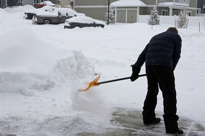
Wind chills could hit -35 Celsius this morning, Jan. 15, so extreme cold warnings are in place for mountain passes in the Southern Interior.
Kamloops could have a wind chill factor of -28 C this morning and the Okanagan -25 C.
“An arctic ridge continues to be anchored over BC,” the Environment Canada warning says. “Temperatures between -20 C to -30 C in combination with light to moderate winds will create hazardous wind chill values near -35 C. These wind chill values will moderate on this morning as temperatures gradually rise.”
The warnings cover the Coquihalla Highway from Hope to Kamloops, the Okanagan Connector and Highway 1 from Rogers Pass to Eagle Pass.
A special weather statement has been issued for the entire region as temperatures moderate with snow expected on Tuesday and Wednesday.
“An arctic front will begin to sweep across the province from north to south, bringing periods of snow,” that statement says. “At the same time, a Pacific low pressure system will approach the coast from the west. As the moisture from the Pacific system interacts with the cold front from the north, periods of heavy snow are expected, and snowfall warnings may be issued for some regions.”
There is no indication in the statements as to how much snow may fall.
During the weekend cold snap, Kamloops reached a low of -28.6 on Saturday morning. It’s all-time coldest day was -38.3 C on Jan. 18, 1950,
READ MORE: Kamloops, Okanagan temperature records not threatened by cold snap
The Environment Canada online forecast calls for high of -13 C today, slowly rising to -9 Thursday and 1 C by Saturday.
Kelowna’s low was -26.9 on Saturday morning. It’s all-time record low was -36.1 on Dec. 30, 1968.
The forecast high for the Okanagan is also -13 C today, rising to 1 C by Sunday.
Vernon has recorded the coldest ever temperature of the region’s four largest cities at -38.9 C on Dec. 29, 1968. It dropped to -28 C on Saturday morning and again on Sunday.
Penticton is the only one of the four cities that broke daily records during this cold spell and also set an all-time low.
It broke its lowest maximum temperature on Friday at -18.6 C, eclipsing its 1909 record of -15 C.
It also set a new daily minimum temperature for that day at -22.9 C, breaking its 1909 record by .1 C.
It also broke its daily minimum record for Saturday at -27.6 C. The old record was -24.4 C, set in 1950.
That was also its new all-time cold record. The previous low was -27.2 on Dec. 30, 1968.
Osoyoos was the only other community in the region to break daily cold records.
It broke its lowest maximum record for Friday, Jan. 12 with a high of -16.3. It broke low temperatures records on Saturday at -22.3 C and Sunday at -18.8 C.
To contact a reporter for this story, email Rob Munro or call 250-808-0143 or email the editor. You can also submit photos, videos or news tips to the newsroom and be entered to win a monthly prize draw.
We welcome your comments and opinions on our stories but play nice. We won't censor or delete comments unless they contain off-topic statements or links, unnecessary vulgarity, false facts, spam or obviously fake profiles. If you have any concerns about what you see in comments, email the editor in the link above. SUBSCRIBE to our awesome newsletter here.
News from © iNFOnews, 2024