
Kamloops has received the first significant snowfall of the season which had already begun to melt, Friday, Nov. 19, 2021.
(LEVI LANDRY / iNFOnews.ca)
November 19, 2021 - 7:00 PM
It was the fourth snowiest Nov. 18 on record in Kamloops as the Thompson-Okanagan received the first significant snowfall of the season.
Kamloops received 3.8 centimetres of snow yesterday, Nov. 18. The record for the most snowfall was set in 1896 when 6.4 cm were recorded.
Kamloops typically experiences only traces of snow in November, Environment Canada meteorologist Armel Castellan said. The earliest snowfall in the history of Kamloops was on Oct. 9, and because of global warming, he doesn’t think that record will be broken any time soon.
“But extremes are always possible,” Castellan said. “I wouldn’t put it past mother nature.”
One extreme weather day in Kamloops was Oct. 23, 1933, when 20.3 cm fell to make for the snowiest October day in history.
In Penticton, Environment Canada recorded a trace of snow yesterday but not enough to register. However, less than 20 kilometres to the north, the residents of Summerland woke up to fresh snow, although most parts of town sit at a higher elevation than Penticton.

Summerlanders had to deal with some snow today as well.
(DAN WALTON / iNFOnews.ca)
“The snowfall was localized, there were some places where it was heavier and others where it wasn’t, which often the case,” Castellan said.
Snowfall data was not available for Kelowna or Vernon.
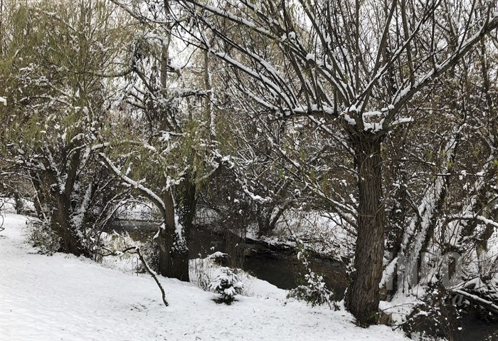
Vernon received some significant snow but it was already starting to melt, Nov. 19, 2021.
(HOWARD ALEXANDER / iNFOnews.ca)
Looking ahead, Castellan said an atmospheric river is forming up in the north coast around the Haida Gwaii area.
He expects the system to become active on Saturday night before arriving at the Lower Mainland late on Monday. Although many variables are in play, he said there is a “non-negligible” chance of snow in Kamloops and the Okanagan on Monday night and Tuesday during the day.
“The potential is there for sure.”
To contact a reporter for this story, email Dan Walton or call 250-488-3065 or email the editor. You can also submit photos, videos or news tips to the newsroom and be entered to win a monthly prize draw.
We welcome your comments and opinions on our stories but play nice. We won't censor or delete comments unless they contain off-topic statements or links, unnecessary vulgarity, false facts, spam or obviously fake profiles. If you have any concerns about what you see in comments, email the editor in the link above.
News from © iNFOnews, 2021