(JENNIFER STAHN / iNFOnews.ca)
December 21, 2015 - 8:30 AM
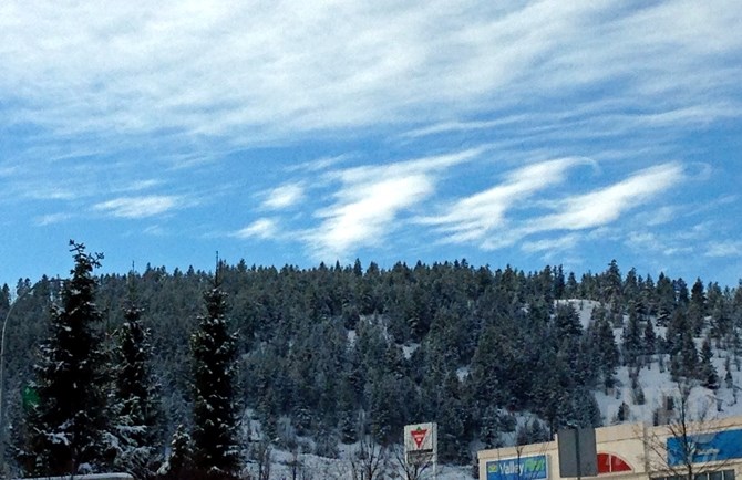
KAMLOOPS - It will be a pretty typical week when it comes to December weather in Kamloops — temperatures below 0 Celsius but in the single digits, along with at least a chance of snow — except Christmas Day, when temperatures are expected to stay several degrees below seasonal normals.
Environment Canada is calling for highs ranging from 0 Celsius to -3 C most days this week, though Friday, Christmas Day, is forecast to reach a high of just -5 C. Overnight lows will also be near seasonal normals, ranging from -4 C to -7 C. The seasonal normal high temperature at this time of year is -1 C while the seasonal normal low is -7 C.
The weather office is also calling for a mainly cloudy skies for most of the week, with a chance of flurries overnight tonight, Dec. 21, and tomorrow morning. A mix of sun and cloud is expected Christmas Day.
Up at Sun Peaks flurries are expected today through Thursday, with a mix of sun and cloud on Christmas Day. Daytime highs are expected to reach in the -7 C to -9 C range this week with overnight lows hitting -15 C by the end of the week.
If you are hitting the highways today watch for compact snow along with slushy and slippery sections, according to Drive B.C. Black ice is also being reported on Highway 1 and Highway 97B near the Shuswap while blowing snow and fog are offering up limited visibility on Highway 97C. The snowfall warning in place for the Coquihalla Highway has finally been lifted, though a season high of nearly 104 centimetres currently sits on the ground at the Coquihalla Summit. Nearly 112 cm is on the ground at the Pennask Summit while Allison Pass is just shy of 108 cm.
If the backcountry is your goal, watch for moderate to considerable avalanche risk through much of the local ranges today, with Avalanche Canada expecting the risk to lower Tuesday and Wednesday. The North Shore range currently has the highest risk in the province, with a high risk at the treeline. The high risk is expected to extend to the below treeline level Tuesday before letting up on Wednesday.
To contact a reporter for this story, email Jennifer Stahn at jstahn@infonews.ca or call 250-819-3723. To contact an editor, email mjones@infonews.ca or call 250-718-2724.
News from © iNFOnews, 2015