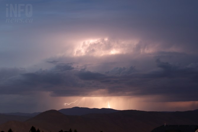
Image Credit: FILE PHOTO
May 25, 2021 - 12:00 PM
Following a Victoria Day long weekend that brought a bit of everything, weather-wise, to Kamloops and the Okanagan, residents can look forward to much of the same for the remainder of the week, but prepare for summer-like conditions this weekend.
Environment Canada meteorologist Lisa Erven says the region is under a typical weather pattern for this time of year.
“Kamloops and the Okanagan should see unstable conditions today (May 15), with the potential for showers and thunderstorms. Those thunderstorms could bring heavy local downpours, gusty winds and lightning to localized parts of the Thompson and Okanagan,” Erven says.
We should see a break in the weather tomorrow as one Pacific frontal system departs and another moves in, Erven says, bringing sunny conditions and seasonal highs to Kamloops and the Okanagan for Wednesday.
Another system is expected to bring between five to 15 millimetres or rain to the region between Thursday and Friday.
“It’s not expected to be a great deal of rain, but it might feel like it, after all the dry weather we have had,” Erven says.
And it has been dry.
Although some locations received measurable precipitation over the May long weekend, Erven says between May 1 and May 20, Kamloops has received only 3.2 mm of rain, compared to the month’s normal 27.3 mm.
Vernon, Kelowna and Penticton have been similarly dry, with Vernon receiving only 3.2 mm so far out of a monthly May average of 41.7 mm.
Kelowna has received 1.3 mm of rain so far, out of the 45 mm that normally falls in May, while Penticton has only received one per cent of May’s normal rainfall of 16 mm.
“It’s been dry in the Interior for some time. This week’s rain, as long as there isn’t too much, too fast, should be a good scenario,” Erven says.
A high pressure ridge is expected to arrive in the Interior just in time for the weekend, bringing lots of sunshine and temperatures that could hit the low 30s Celsius by next Monday.
To contact a reporter for this story, email Steve Arstad or call 250-488-3065 or email the editor. You can also submit photos, videos or news tips to tips@infonews.ca and be entered to win a monthly prize draw.
We welcome your comments and opinions on our stories but play nice. We won't censor or delete comments unless they contain off-topic statements or links, unnecessary vulgarity, false facts, spam or obviously fake profiles. If you have any concerns about what you see in comments, email the editor in the link above.
News from © iNFOnews, 2021