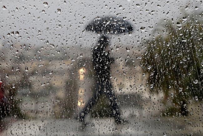
Heavy rain is being reported in parts of the Maritimes as Erin, now a post-tropical weather system, advances toward the region. Raindrops appear on a window as a man crosses a street in San Francisco, Wednesday, Jan. 4, 2017. THE CANADIAN PRESS/AP/Jeff Chiu
Republished August 29, 2019 - 12:37 PM
Original Publication Date August 29, 2019 - 6:41 AM
HALIFAX - The remnants of post-tropical storm Erin were expected to bring heavy rain overnight to a fairly narrow band of the western Maritimes.
Bob Robichaud, warning preparedness meteorologist with Environment Canada, said the latest storm track models indicate Erin will dump between 50 and 100 millimetres of rain in an area between western Nova Scotia, southern New Brunswick along the Bay of Fundy and western P.E.I.
"The main thing of concern is the rainfall," Robichaud said in an interview. "It will be blustery tonight, but nothing we haven't seen before."
The problem is the tropical moisture carried by Erin is bumping against a cold front in New England, which is why the weather system is expected to produce heavy, isolated downpours
"The front acts as a wringer," Robichaud said.
"It will be over a fairly narrow area. A lot of people are going to wake up (Friday) and say, 'Ah, that was nothing.' Still it's that swath of rain that we're watching."
Earlier in the day, big downpours were reported in communities west of a line extending from Halifax to Fredericton.
Jim Abraham, a private meteorologist and consultant, said he wasn't concerned about the wind, but flash-flooding could be a problem in some areas.
"The ground is hard because we've been in a drought," he said. "There could be rapid runoff when the precipitation hits that hard ground. Some flood-prone basements may get wet."
Erin's predicted track was expected to cut through the middle of mainland Nova Scotia, with the heaviest rain expected to fall on the left side of the sprawling low-pressure system.
The Canadian Hurricane Centre in Halifax said some gusty winds would accompany Erin, especially in those areas to the right of its track.
Coastal areas, particularly along Nova Scotia's Atlantic coast, could get gusts exceeding 70 kilometres per hour, which could cause isolated power outages.
"We have trees that are full of leaves right now," said Linda Libby, an Environment Canada meteorologist based in Charlottetown.
"That means we could get damage at lower wind speeds. We're still not out of the woods in terms of limbs coming down and impacting utility lines."
Nova Scotia Power activated its emergency operations centre on Thursday afternoon.
"We're placing crews around the province and working with staff and contractors to make sure we can respond safely and quickly as needed," spokesman Matt Drover said in a statement.
"We are closely monitoring the weather forecasts, so if the storm shifts, we can modify our response effort, too."
Meanwhile, gale warnings were in effect for the waters around the Maritimes, with southerly winds over open water expected to reach 74 kilometres per hour.
News from © The Canadian Press, 2019