
Transit, not a second crossing, is the solution for Central Okanagan's bridge, highways: planners
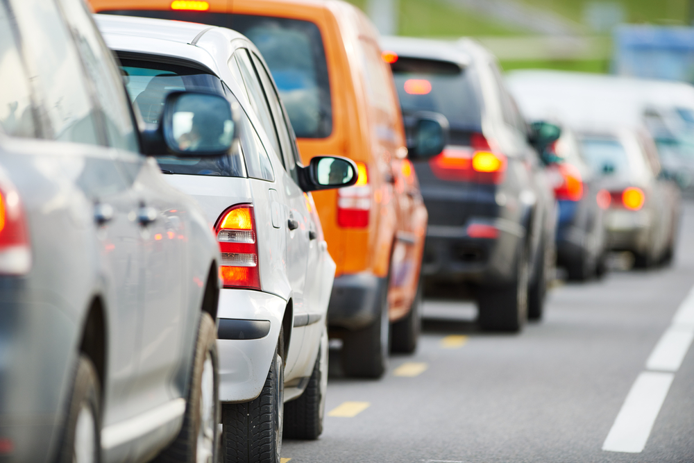
It’s not that local governments expect everyone to stop driving as congestion continues to grow on Central Okanagan roadways.
But, at the core of what transportation planners – and, by extension, local politicians – are doing about congestion is through the first ever Regional Transportation Plan.
When it comes to “key elements” of that plan, transit is right at the top.
“One of the key features of the plan is to create a fast and reliable transit spine along the Highway 97 corridor,” it says. “This would make transit faster and more reliable, increase the people-moving capacity of the corridor and make more efficient use of the existing road network. It would also get transit out of mixed traffic and begin protecting space for potential future conversion to higher capacity transit, which may be possible in the future as the population grows and technology brings costs down.
“Harvey Avenue in Kelowna is the corridor with the best potential for reaching the population and employment densities needed to support bus rapid transit, light rail transit, or another form of higher capacity transit by the 2040 planning horizon.
The plan was adopted in December 2020 after a 2.5 year planning process. It did not focus exclusively on Highway 97.
“Really, the objective of the Regional Transportation Plan was to look comprehensively at the region, at ways to better connect it so, not just at the highway system, but looking at all modes of travel,” Mariah VanZerr, the City of Kelowna’s strategic traffic planning manager and a key player in drafting the plan, told iNFOnews.ca.
“How do we make the most efficient use of our existing infrastructure and how do we manage the growth of traffic on the bridge? It’s really about how do we add more housing and jobs to our region without necessarily adding to traffic congestion?”
That’s a complex question and means striking a delicate balance.
Whether or not a second bridge gets built across Okanagan Lake is in the hands of the province, which is continuing work on its Highway 97 corridor study.
Until then, local governments' hands are tied – even when it comes time to protect possible road corridors to connect to that future bridge.
“It can be very challenging to acquire or protect land before you know whether a project is going to be built and, if so, where it’s going to be built,” VanZerr said.
When asked, however, if Kelowna and/or West Kelowna representatives were pushing to include a second crossing in the plan, VanZerr said it was a truly regional effort.
Kelowna Mayor Colin Basran and West Kelowna Mayor Gord Milsom did not respond to emails from iNFOnews.ca asking their opinions on a second crossing.
READ MORE: Central Okanagan MLAs see need for second Okanagan Lake crossing
One logical landing point on the Kelowna side of the lake is the former Tolko Mill site.
That land is going to be redeveloped and an entire North End plan is being drafted. As part of that – or any similar planning process – the provincial Ministry of Transportation and Infrastructure is consulted.
But, until the province makes some kind of decision on a second crossing, local planners have their hands tied, which leaves them to look for local solutions.
READ MORE: Bennett bridge far ahead of capacity, way behind in planning for second crossing
After all, the vast majority of traffic along Highway 97 is regional, with very few people – even trucks transporting goods – wanting to just go through the region. They’re heading for destinations that are often close to the highway, VanZerr said.
“That’s one of the reasons you see, in the Regional Transportation Plan, that the focus is really on trying to help more people travel along the highway corridor and get to where they need to go along the existing corridor because that’s where their destinations are,” she said.
The planners are looking at ways to improve transit along the corridor to make it more efficient and more likely to arrive on time. That could include a bus lane down the median of the existing highway so they are not subject to traffic congestion and, as stated in the opening comments of the plan report, protect corridors for possible future light rapid transit.
The ultimate solution could be some form of light rapid transit on a dedicated route.
It’s expected that the number of people living and working along certain stretches of the corridor will reach levels that justify that kind of transit by 2040 – the time frame of the plan.
“This level of growth will bring these areas in central Kelowna to the lower end of the recommended density range for supporting high capacity transit," the Regional Transportation Plan says. ”However, this level of density does not extend to areas outside of central Kelowna, such as to the Westside or east of Orchard Park. Most systems are typically 10 km in length or longer to generate enough ridership to offset the costs.”
That means other options for travel – or not to travel – need to be considered.
There’s some good news on that front.
“We did a study looking at 2013 to 2018 and households on the Westside just made fewer trips per household,” VanZerr said. "That can be due to all kinds of things, like aging demographics that makes fewer tips during the morning and afternoon rush. It could be things like e-commerce. Transportation is very dynamic and lots of things influence it.”
There’s no direct linear relation between the rate of population growth and the rate of growth of traffic on the Bennett Bridge.
“We’ve grown by about 5% in the region since 2019, but we’re seeing the traffic volumes on the bridge actually stayed about the same,” VanZerr said. “They haven’t fully rebounded yet from pre-pandemic levels. We’re actually down about 16% during the morning rush from where we were in 2019.”
Ministry of Transportation statistics bear that out. They show the average daily traffic outside summer months in 2021 was lower than any year since 2015 (except the 2020 pandemic year).
READ MORE: If you think Bennett Bridge is crowded now, just wait until it actually fills up
Of course, population growth trends and driving patterns were heavily influenced by the COVID pandemic and it’s too soon to know what the new normal is.
There is a regional “goods movement” study underway and VanZerr is getting ready to launch an employer "commute reduction" program to look at ways to avoid workers having to travel at peak times.
“It’s definitely not about asking everyone to give up their cars all the time,” VanZerr said. “It’s about helping shift more trips to biking, walking and transit where we can. When you give people the choice where they don’t have to drive for every trip, the people that want to, they start making those choices for trips where they can and that takes cars off the road and gets people out of the way of others who really have to drive and have no other choice.”
To contact a reporter for this story, email Rob Munro or call 250-808-0143 or email the editor. You can also submit photos, videos or news tips to the newsroom and be entered to win a monthly prize draw.
We welcome your comments and opinions on our stories but play nice. We won't censor or delete comments unless they contain off-topic statements or links, unnecessary vulgarity, false facts, spam or obviously fake profiles. If you have any concerns about what you see in comments, email the editor in the link above.