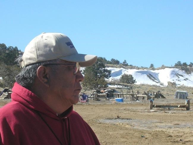
FILE - In this March 12, 2008, file photo, Teddy Nez stands on his property adjacent to the Northeast Church Rock Mine in northwestern N.M. Behind him is a 50-foot uranium waste pile from mining operations. The former uranium mine is the most contaminated on the 27,000 square-mile reservation. The U.S. Environmental Protection Agency released a 5-year plan to clean up contamination on the reservation. Activists are using virtual reality technology to focus on areas of the Navajo Nation affected by uranium contamination. The Gallup Independent reports the arts collective Bombshelltoe has collected 360-degree footage of Churchrock, N.M., to show how people and the land have changed since a 1979 uranium mill spill. (AP Photo/Felicia Fonseca, File)
Republished September 15, 2019 - 8:24 PM
Original Publication Date September 14, 2019 - 9:36 AM
GALLUP, N.M. - Activists are using virtual reality technology to focus on areas of the Navajo Nation affected by uranium contamination.
The arts collective Bombshelltoe has collected 360-degree footage of land near Churchrock, New Mexico, to show how people and the land have changed since a 1979 uranium mill spill, the Gallup Independent reports .
The film, titled "Ways of Knowing," was directed by artist Kayla Briet.
The project started four years ago after Washington, D.C.-based nuclear policy program manager Lovely Umayam met Navajo activist Sunny Dooley at an event in Santa Fe, New Mexico. Filmmaker Adriel Luis is also a co-producer of the movie.
"Sunny asked us during this meeting, 'Where is your heart?' And it caught my - along with everyone else's - attention," Umayam said.
In 1979, a dam on the Navajo Nation near Church Rock broke at a uranium mill's evaporation pond, releasing 94 million gallons (356 million litres) of radioactive waste into the Puerco River.
It was the largest accidental release of radioactive material in United States history and three times the radiation released at the Three Mile Island accident.
The radiation contaminated not only water but the food chain. Cattle in western New Mexico later showed higher levels of radiation.
Dooley, who lives in Chi Chil Tah, New Mexico, said she has felt the direct effects of the big spill that went down the Rio Puerco and contaminated the water and soil in her community.
During a recent presentation of the virtual reality footage, Dooley talked about her daily life of not being able to have running water in her home because it is contaminated. "I have to come to Gallup to get my water and take it back home," she said.
Umayam said the group wanted to use the new technology of virtual reality with the stories to bring a true experience and show the impact of uranium mining.
She said the project is close to being finished, but with every presentation they get more information and make tweaks to the system.
___
This story has been updated to say that the film is titled "Ways of Knowing" and was made by artist Kayla Briet. The story also has been revised to say that the footage is of land near Churchrock, New Mexico.
News from © The Associated Press, 2019