
Still winter on upper elevation highways in southern Interior
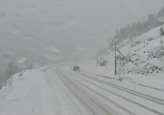
If highway travel is in your plans today, you'll want to take note. Up to 25 centimetres of more snow is expected over the next 24 hours in the mountain passes on all three major highways out of the southern Interior.
On the Coquihalla Highway from Hope to Merritt between 15 to 25 cm can be expected, according to a snowfall warning issued today, March 13, by Environment Canada. On Highway 1, 15 to 25 cm is expected between Eagle Pass and Rogers Pass. On Highway 3, 15 to 25 cm is in the forecast for the Paulson Summit, Kootenay Pass.
“As the cold front pushes through tonight, the snow will briefly intensify," the warning says. “In the wake of the cold front early Tuesday morning, skies may clear, resulting in the potential for rain or snow to freeze to surfaces as the temperatures drop below freezing.
Driving may be challenging as precipitation changes back and forth between snow and rain, the warning says.
For the latest on the snowfall warnings, go to Environment Canada's public weather alert page here.
For the latest highway conditions, check DriveBC here.
To contact a reporter for this story, email Dan Walton or call 250-488-3065 or email the editor. You can also submit photos, videos or news tips to the newsroom and be entered to win a monthly prize draw.
We welcome your comments and opinions on our stories but play nice. We won't censor or delete comments unless they contain off-topic statements or links, unnecessary vulgarity, false facts, spam or obviously fake profiles. If you have any concerns about what you see in comments, email the editor in the link above.