
Heavy snow warnings continue for Interior highways
Those travelling throughout the Interior this morning are being asked to consider waiting until the snow clears.
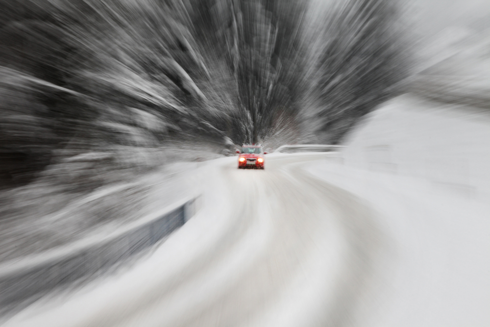
Winter storm warnings have been issued for the Okanagan Connector, from Kelowna to Merritt and Highway 3, from Paulson Summit to Kootenay Pass. Other storm warnings for the Thompson Okanagan have ended, according to Environment Canada.
“An intense Pacific cold front is moving across the southern interior early this morning. Further snowfall accumulations 5 to 10 cm are expected as the front moves through. In addition, strong northwest winds gusting to 60 km/h will cause blowing snow and near zero visibility,” according to Environment Canada.
The national weather agency is asking travellers to postpone non-essential travel until conditions improve.
In Kamloops, residents can expect a mix of sun and cloud today with a 30% of flurries and a high of 1 C. Tonight will see a low of -6 C with a 70% chance of flurries changing to 30% near midnight.
Kelowna will continue to see snow on and off before the end of the morning with a 40% of flurries this afternoon with a high of 1 C. Tonight will be mainly cloudy with a 40% chance of snow and winds gusting to 40 km/hr.
Penticton will see snow with a chance of rain today with a high of 2 C. Snowfall will amount to 5 cm this morning with winds reaching 50 km/hr before tapering off this afternoon. Tonight there will be a 40% chance of snow with a low of -3 C.
Vernon will see snow at times this morning with a 40% chance of flurries this afternoon with a high of 2 C. Tonight will be mainly cloudy with a low of -5 C and 40% chance of snow.
To contact a reporter for this story, email Carli Berry or call 250-864-7494 or email the editor. You can also submit photos, videos or news tips to the newsroom and be entered to win a monthly prize draw.
We welcome your comments and opinions on our stories but play nice. We won't censor or delete comments unless they contain off-topic statements or links, unnecessary vulgarity, false facts, spam or obviously fake profiles. If you have any concerns about what you see in comments, email the editor in the link above.