Kamloops News
Kamloops completes water demand model for natural resource planning
Contributed/City of Kamloops
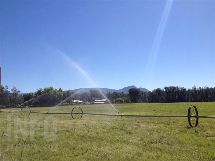
Image Credit: FILE PHOTO
July 26, 2016 - 8:58 AM
KAMLOOPS - It's a given that cities must plan and research for industrial development. Natural resource planning is just as important as any other development.
In order to determine future water demands and usage, researchers use a water demand model, which is a management and planning tool. It calculates current and future agricultural water demands for areas within the Agricultural Land Reserve (ALR) and areas zoned for agriculture in the city, according to a release from the City of Kamloops
Researchers found:
-
Climate change scenarios by UBC and Summerland Research and Development Centre predicted an increase in agricultural water demand because of warmer and longer summers paired with lower precipitation during future summer months.
-
There are 12,816 hectares of ALR land in Kamloops. The total irrigated acreage in Kamloops is 1,265 hectares with 70 per cent supplied by licensed surface water sources and 30 per cent irrigated with groundwater.
-
By converting irrigation systems to a higher efficiency for some crops, water use could be reduced.
-
Three climate change models were used. Results show that in an extreme climate change scenario, it’s possible to have an annual water demand that is 18 per cent higher than what was experienced in 2003 (a notably hot and dry year).
To access the full report including maps, click here.
News from © iNFOnews, 2016