(ADAM PROSKIW / iNFOnews.ca)
November 27, 2015 - 8:55 AM
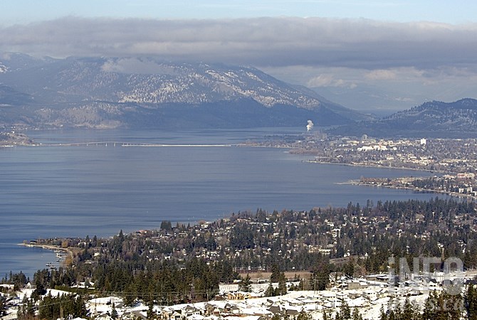
OKANAGAN - While the temperatures continue to remind us why the stereotype of all Canadians living in parkas and igloos exists, it is nowhere near the record lows recorded in the Okanagan.
Environment Canada is calling for temperatures to remain well below zero all weekend but is forecasting the mercury to hit near seasonal normal highs of 2 Celsius by mid-week.
The weather office is calling for a high of just -3 C today, Nov. 27, in the Vernon and Kelowna areas and -1 C in Penticton. Tomorrow is expected to hit -3 C in the South Okanagan and -5 C through the North and Central Okanagan while Sunday is expected to hit -6 C throughout the region.
Overnight will be even colder, with lows of -9 C to -12 C in the forecast for Vernon and Kelowna and -6 C to -12 C in Penticton. The normal seasonal low temperature at this time of year is -3 C. Record lows hit well into the -20s.
The skies are expected to be a mix of sun and cloud today and tomorrow before clearing Sunday and for the start of the new week.
Highways passes are also expected to be sunny and clear this weekend, though be prepared for winter driving conditions, a lot of area highways are reporting compact snow and slippery sections.
If you plan on braving the cold in the back country this weekend watch for considerable avalanche risk in the alpine areas of the North and South Columbia ranges as well as Glacier National Park. Avalanche Canada has not yet issued a forecast for the Kootenay Boundary range.
To contact a reporter for this story, email Jennifer Stahn at jstahn@infonews.ca or call 250-819-3723. To contact an editor, email mjones@infonews.ca or call 250-718-2724.
News from © iNFOnews, 2015